
In this guide, you will learn how to download a point cloud from FusionMap efficiently
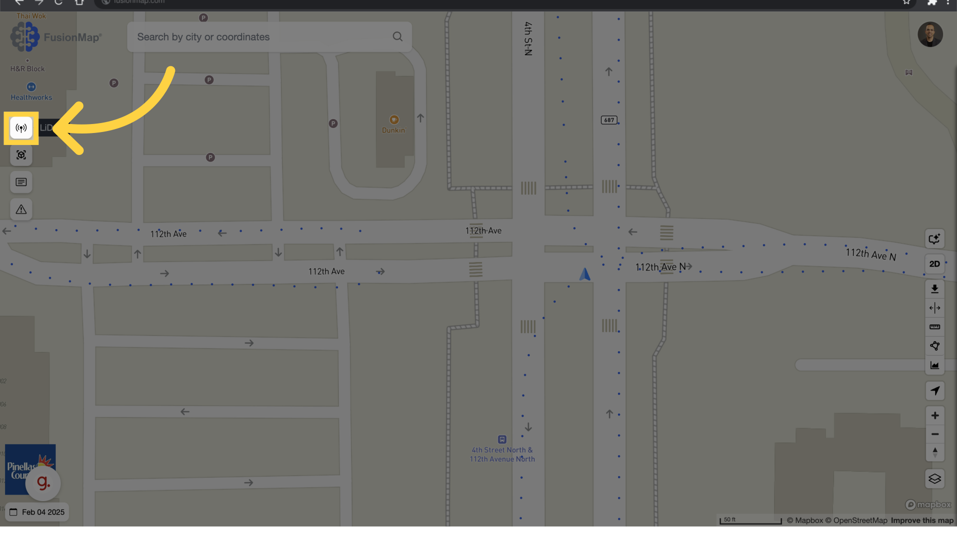
1. Click LiDAR view #
2. LiDAR View #
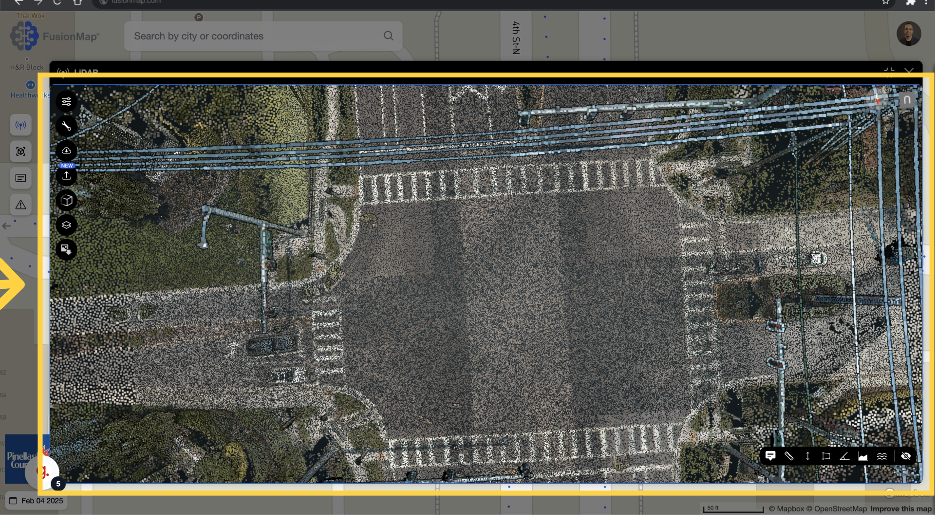
The LiDAR view opens up
3. Select Height Profile #
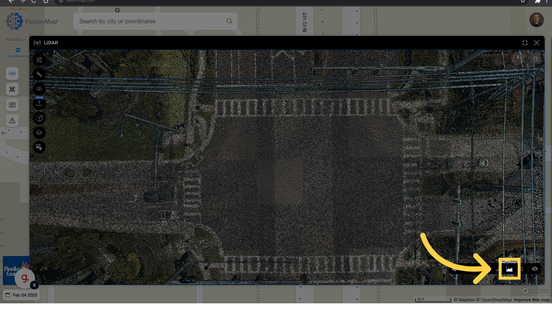
Click the height profile button
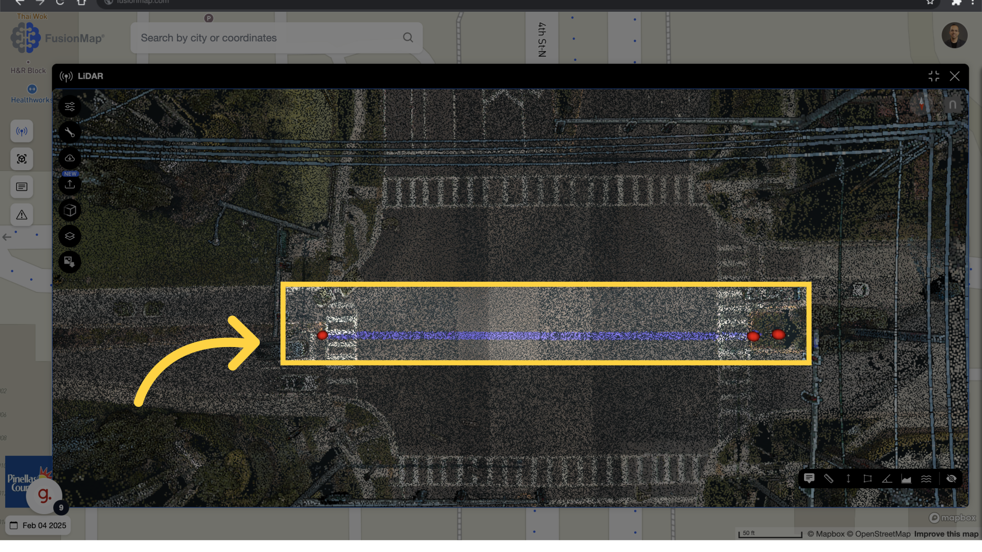
4. Select Start and End #
Left click for the start point and right click for the end of the cross section.
5. Adjust The Width #
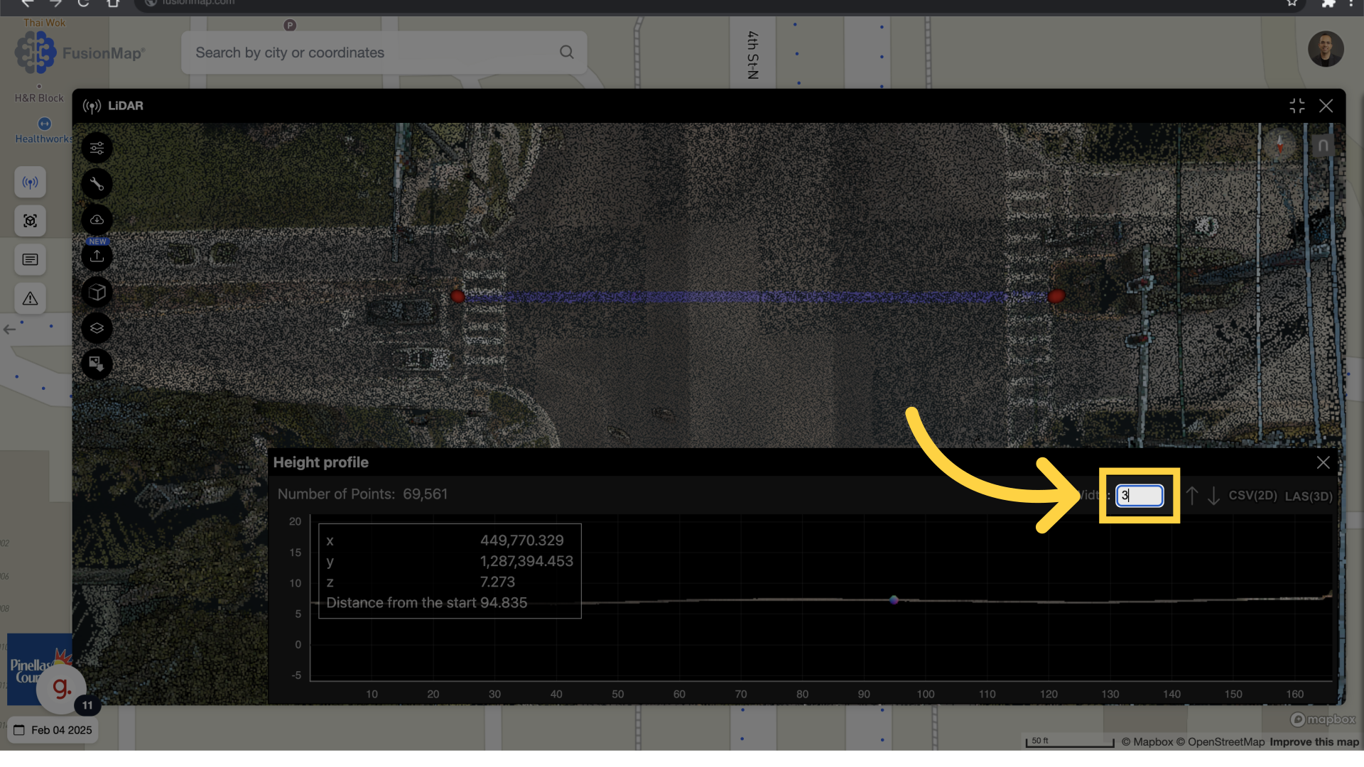
Change the cross section width to desired value, the unit is based on the lidar pointcloud projection, (imperial or metric)
6. Adjust the AOI #
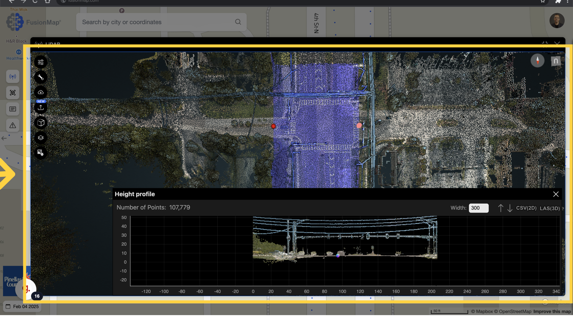
you can adjust the area of the interest, marked in blue, interactively.
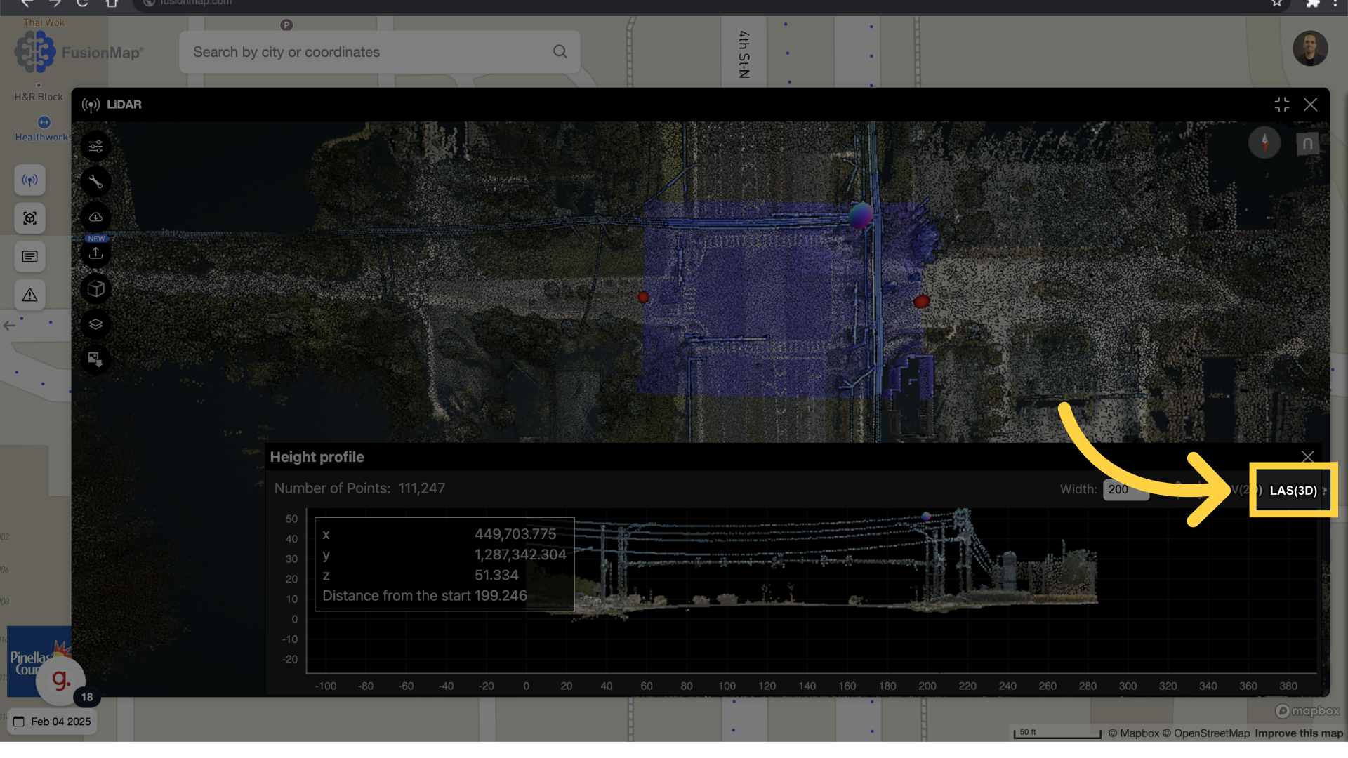
7. Download LAS #
Proceed with the download by selecting LAS(3D) from the Heigh Profile Menu.