In this tutorial, you’ll learn how to customize icons within custom layers in FusionMap—helping you tailor your maps to better reflect your data and project needs.
1. Visualized custom GeoJSON layer from last tutorial #
Please refer to the “How to Upload GeoJSON” tutorial.
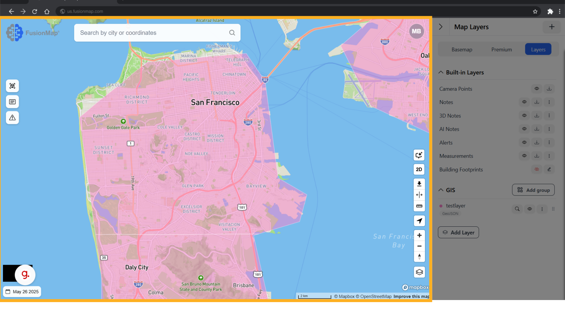
2. Click here #
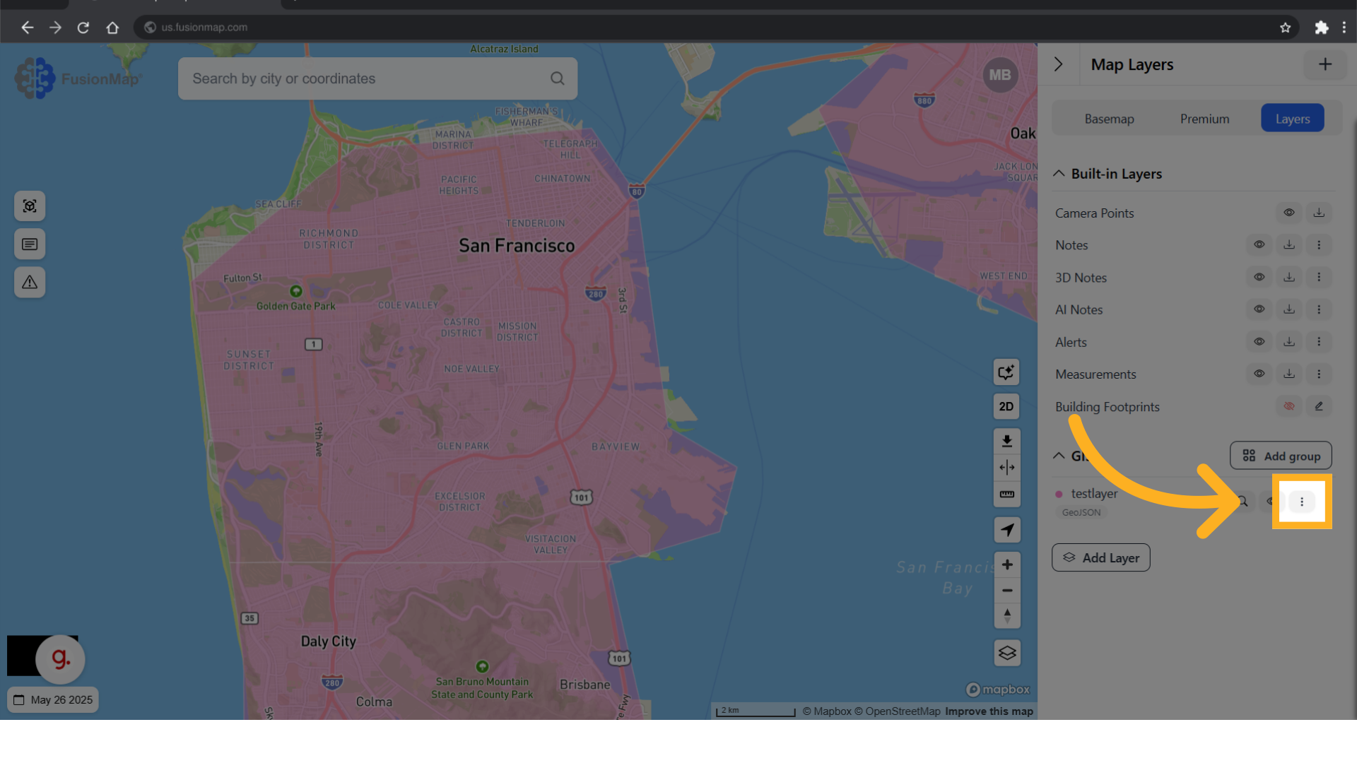
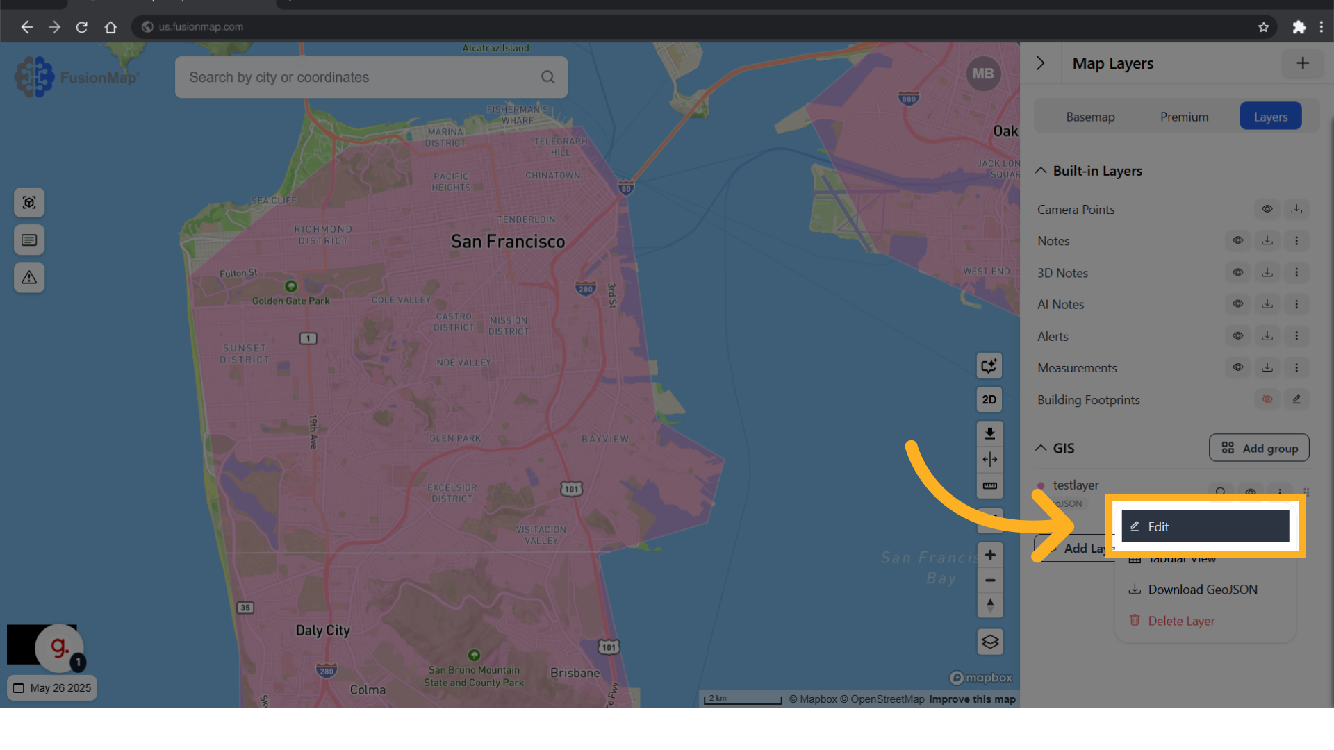
3. Click “Edit” #
Open the editing menu.
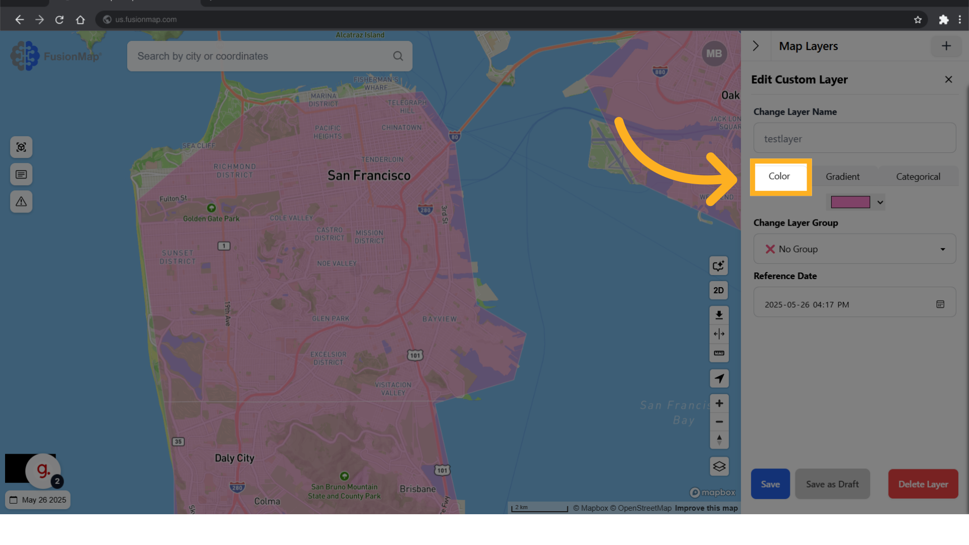
4. Switch to color tab #
Note: You can only use one type of coloring at a time.
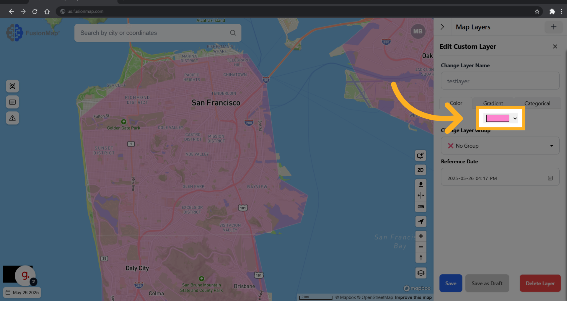
5. Change the color here #
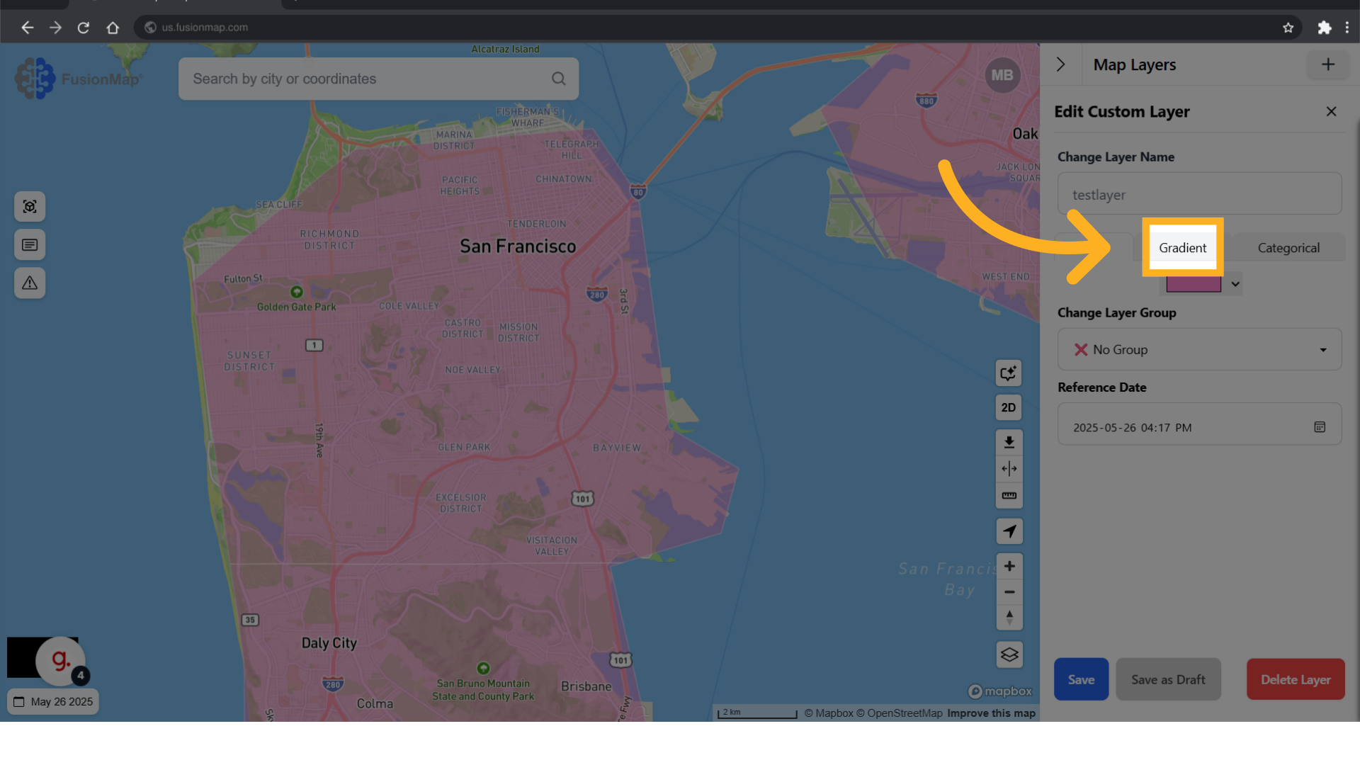
6. Switch to the gradient tab #
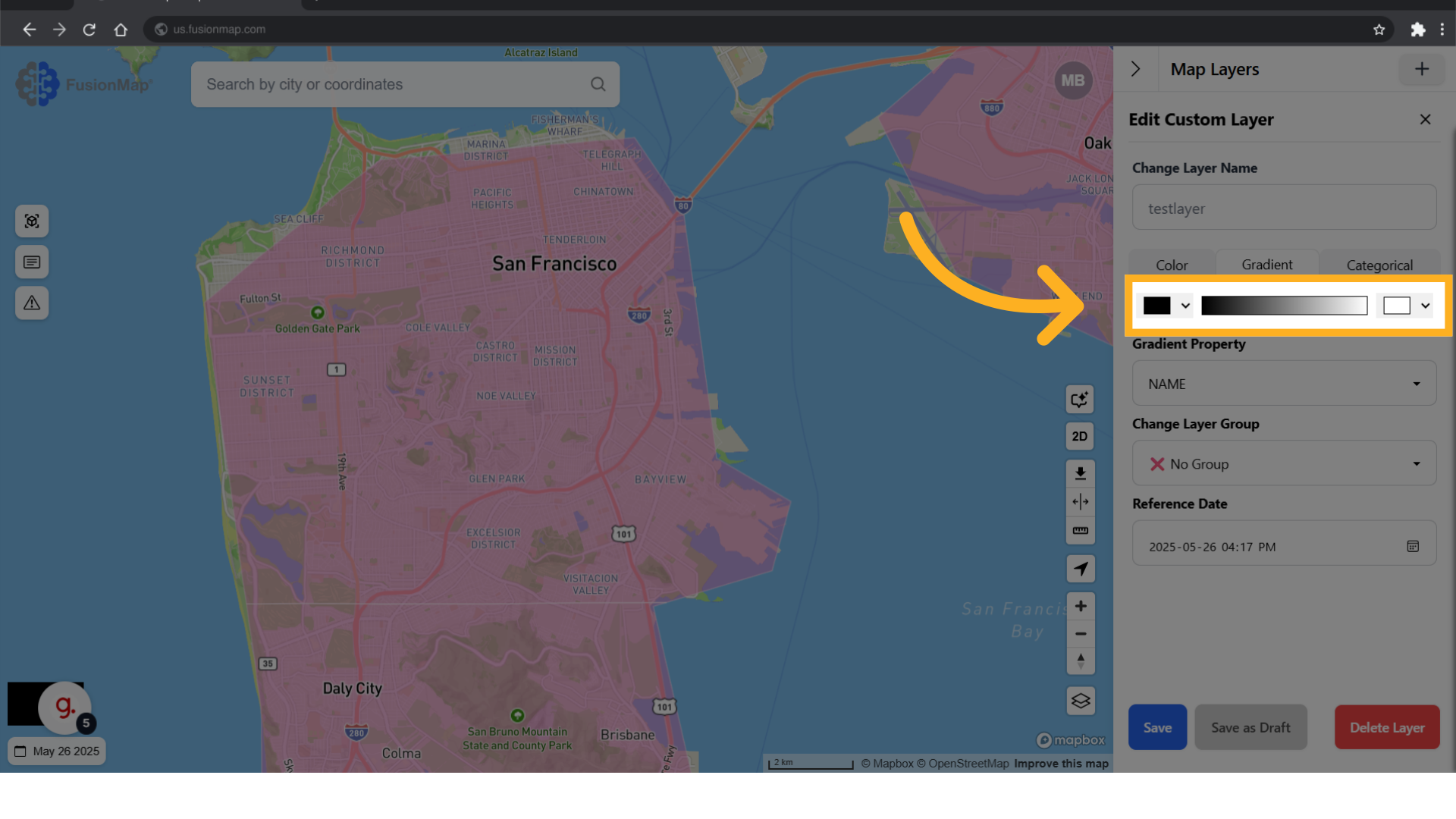
7. Choose the two colors for each end #
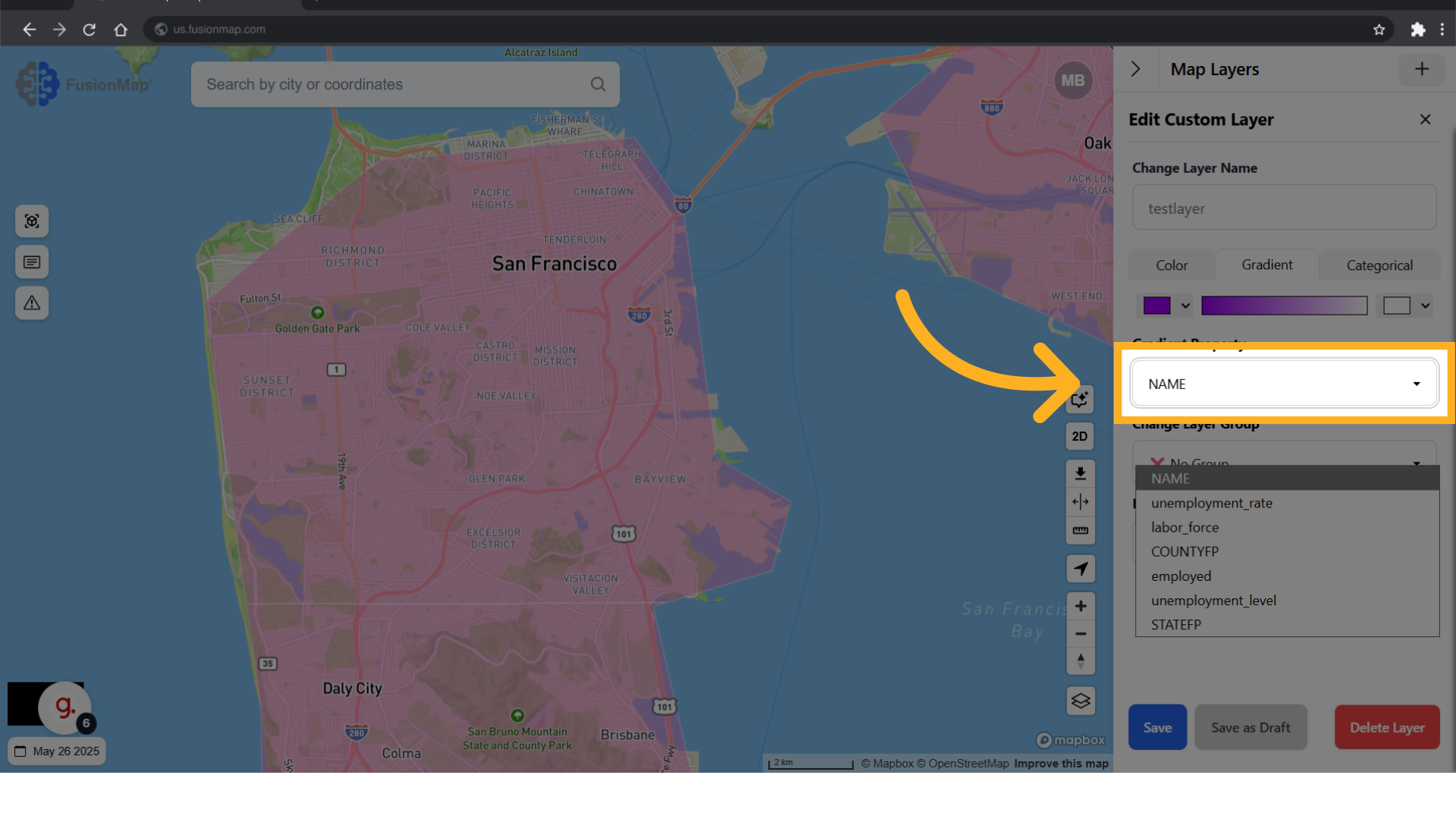
8. Select which property of your GeoJSON the gradient will apply to #
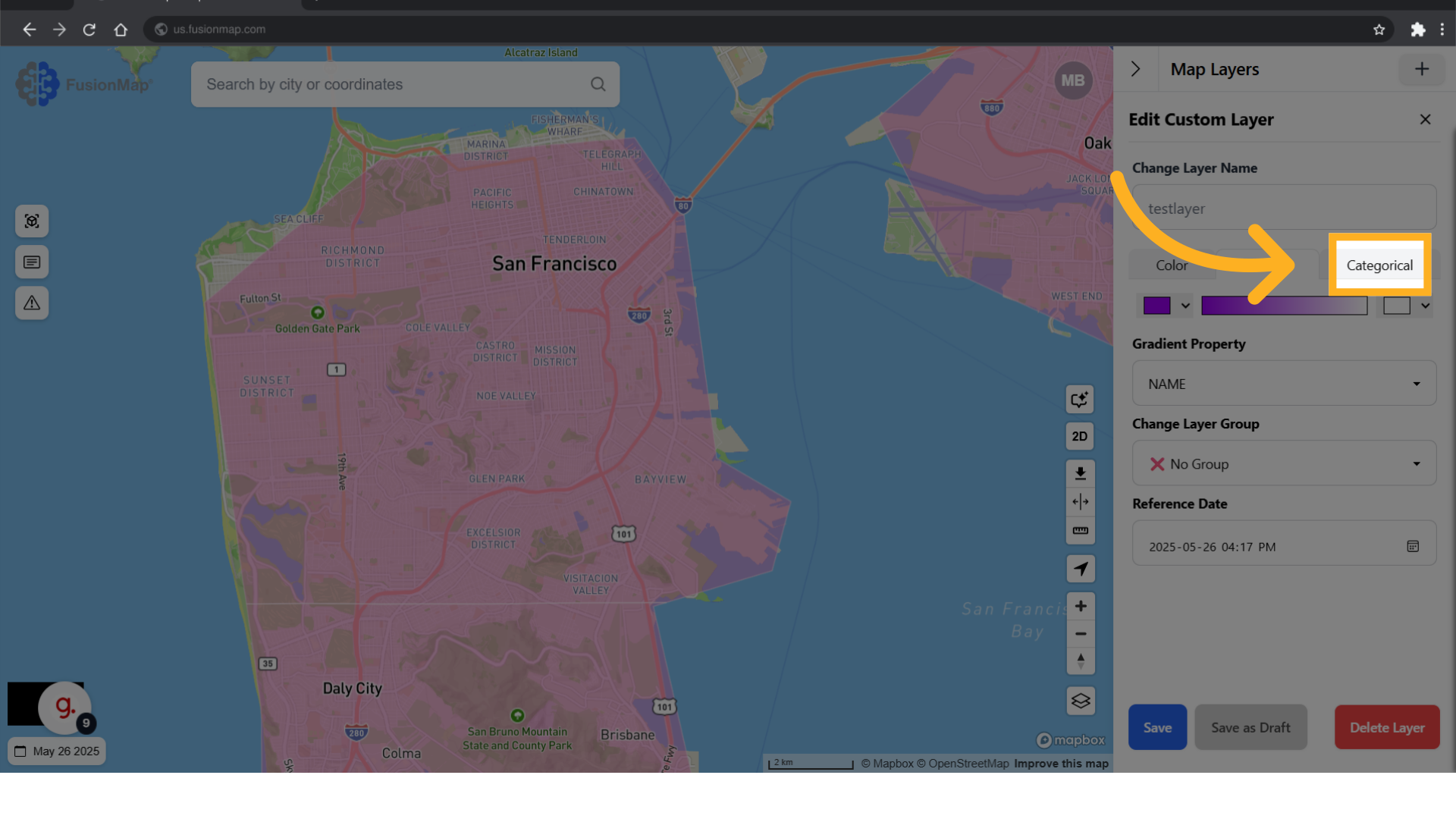
9. Switch to the categorical tab #
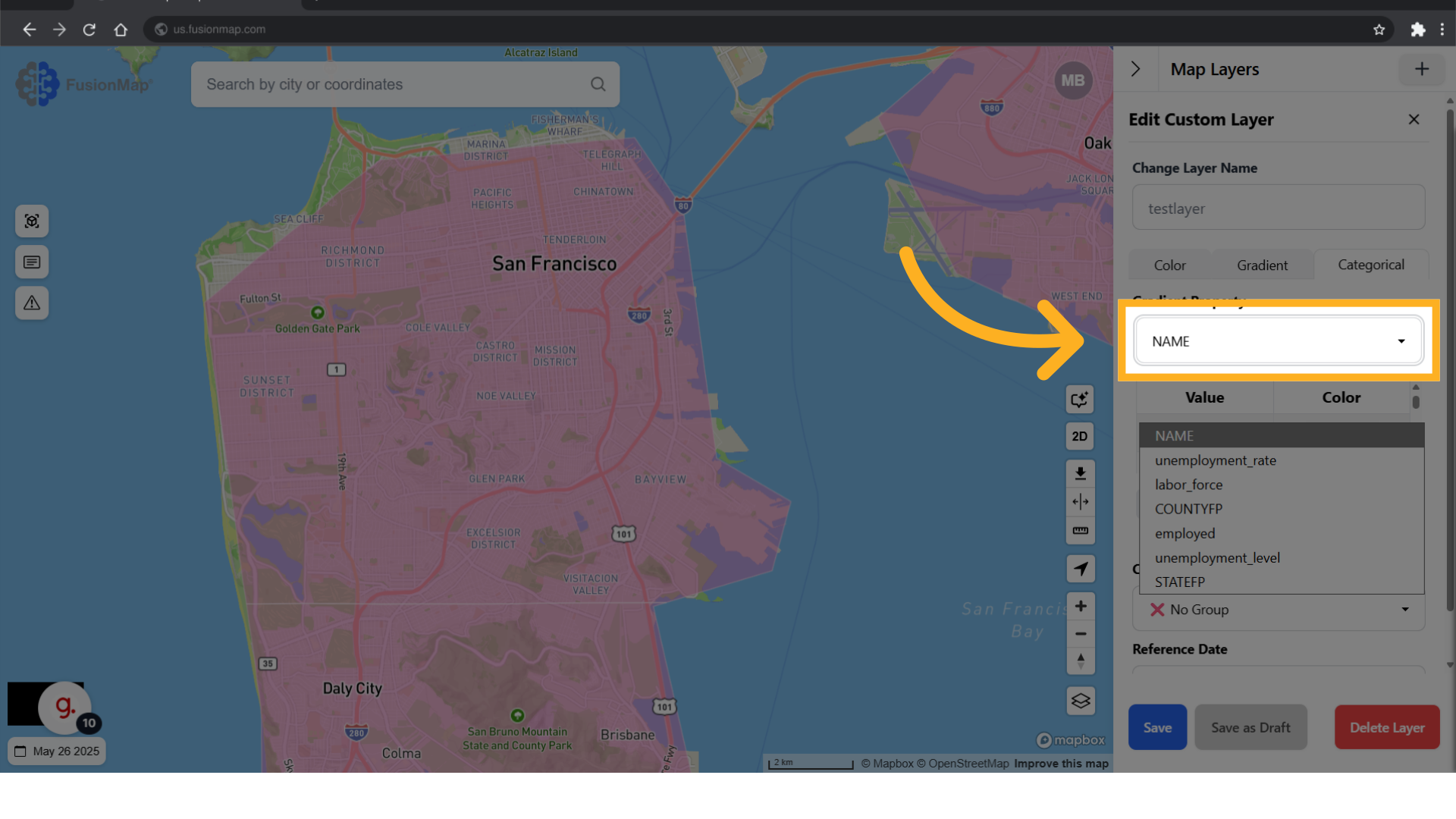
10. Select which property of your GeoJSON the color will apply to #
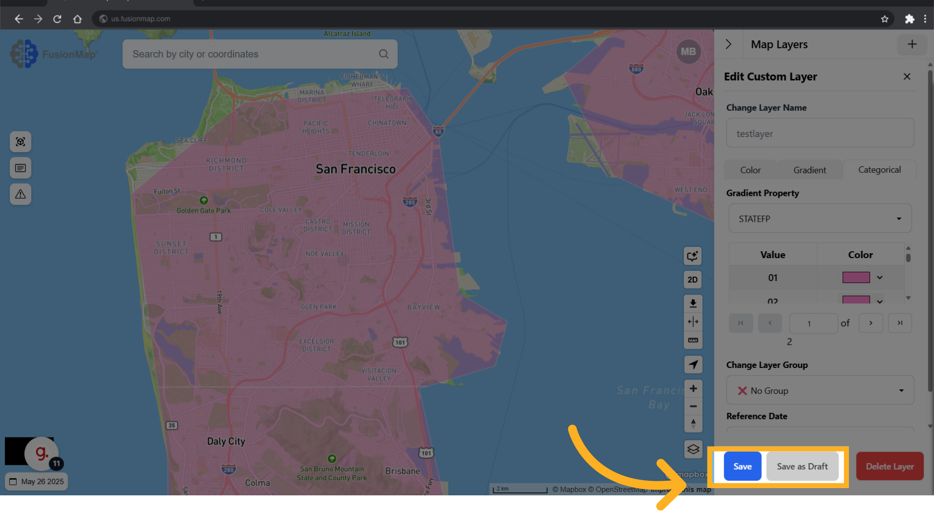
11. Once you’re done, Save your changes #
You’ve now seen how to customize icons in custom layers using FusionMap, allowing for clearer, more personalized visual communication in your maps.