Welcome to the Measurements Tutorial
1. Select the distance measurement button #
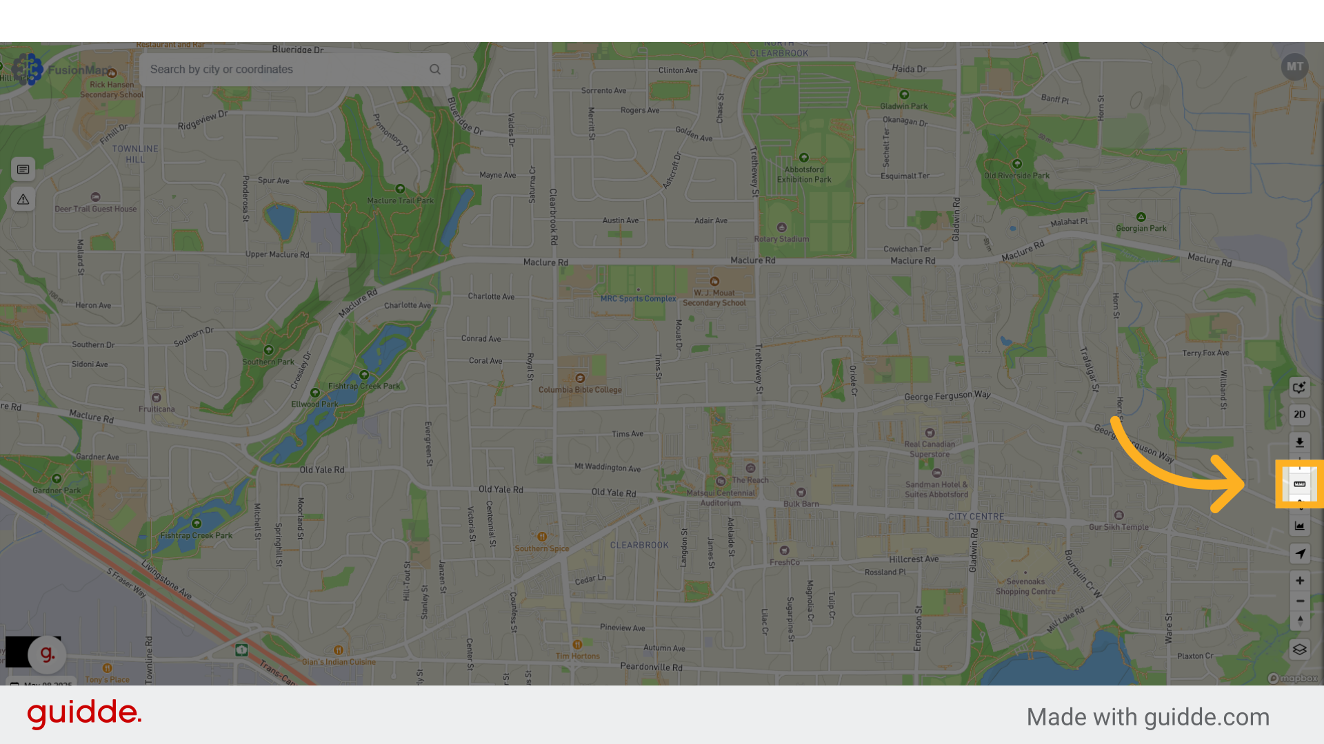
2. Click on the map to set your first point #
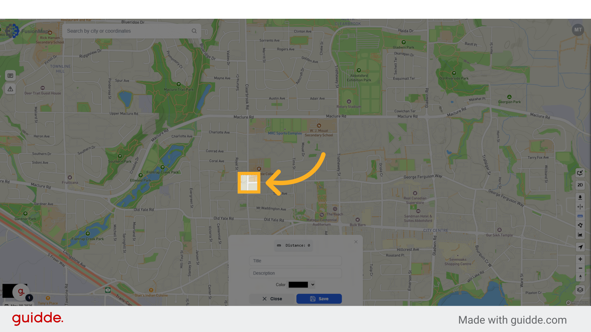
3. Click to set your second point #
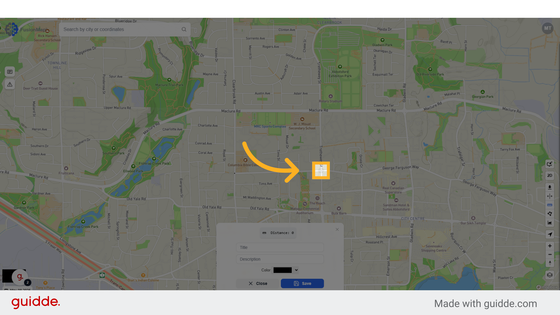
4. And so on… #
Set as many or as few points as you’d like.
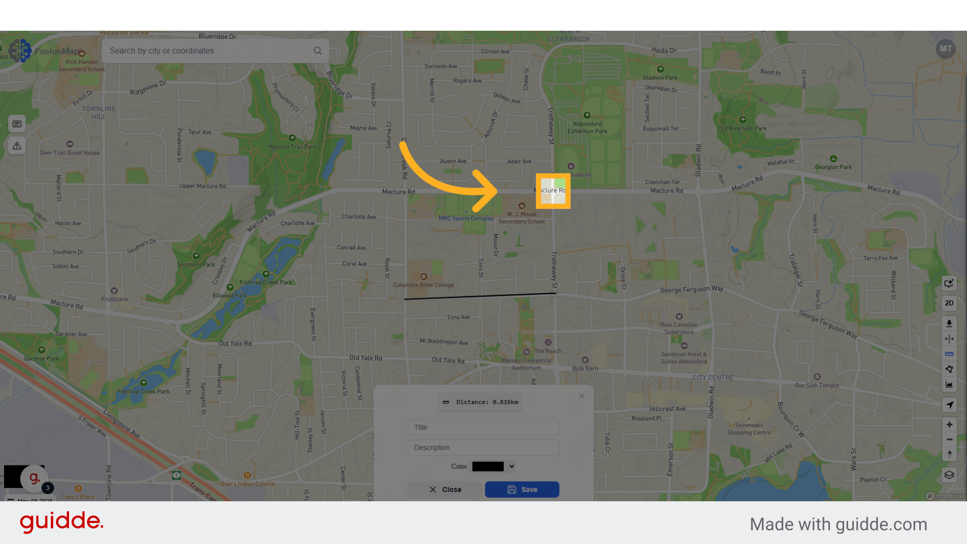
5. Enter your preferred title, description and color #
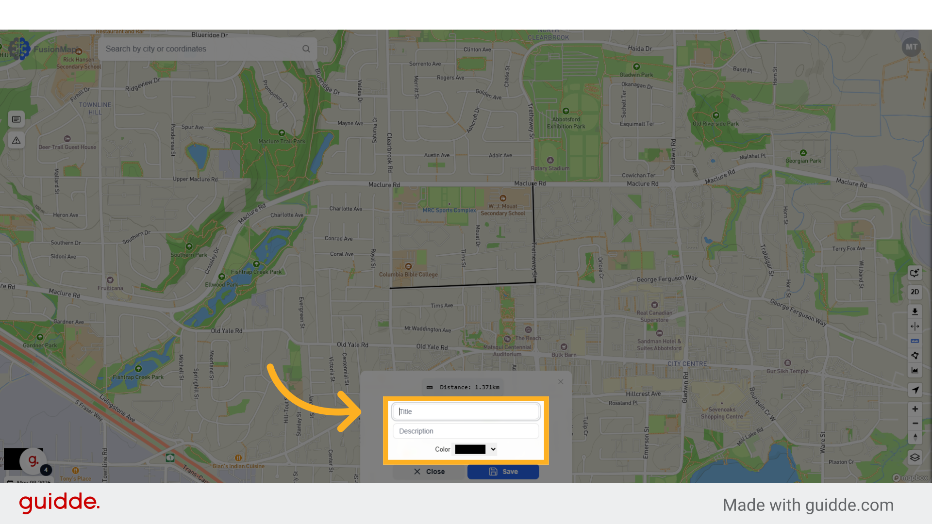
6. Click “Save” to view your changes on the map #
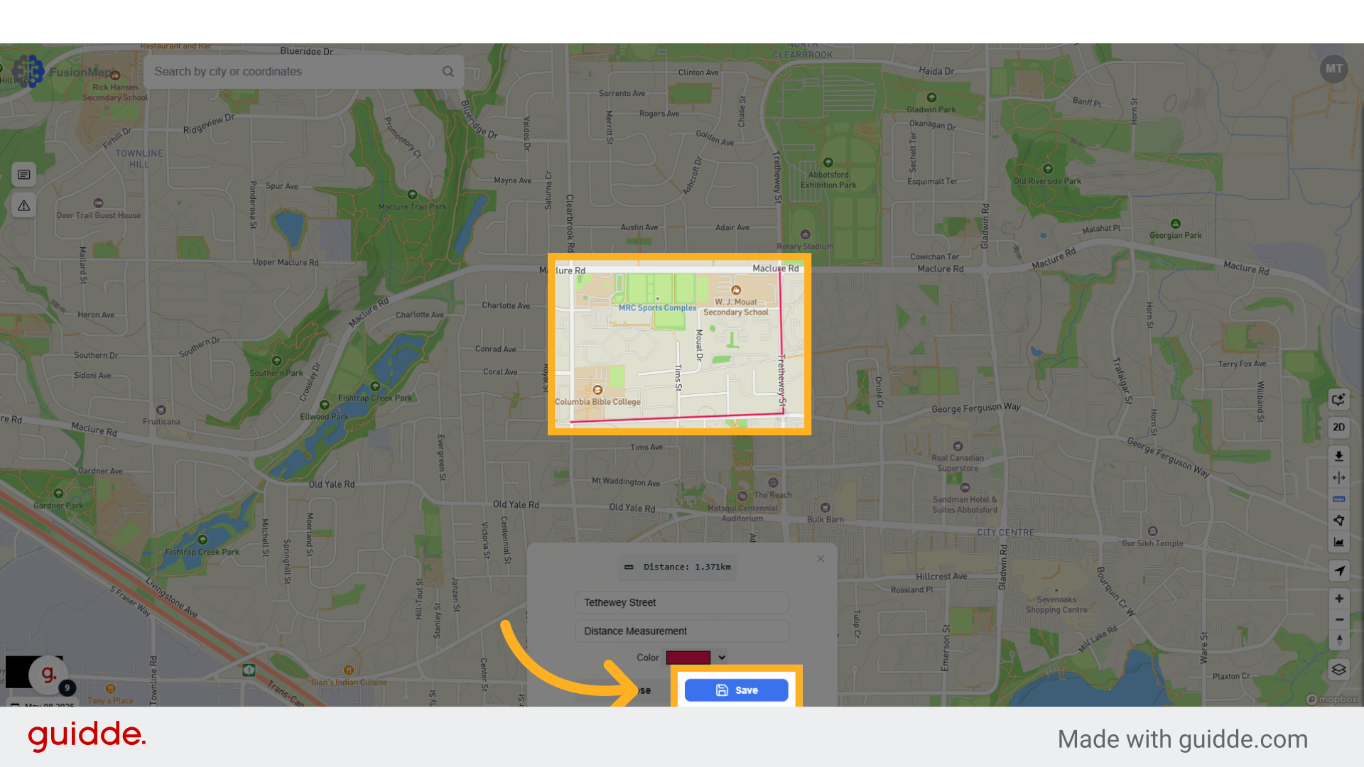
7. Click the area measurement button #
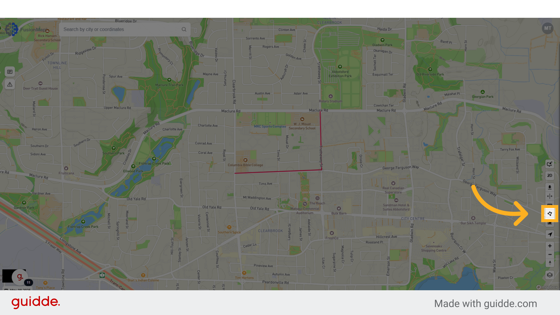
8. Select your desired area #
Your area should have a minimum of three points. There is no limit on how many points you can choose beyond that.
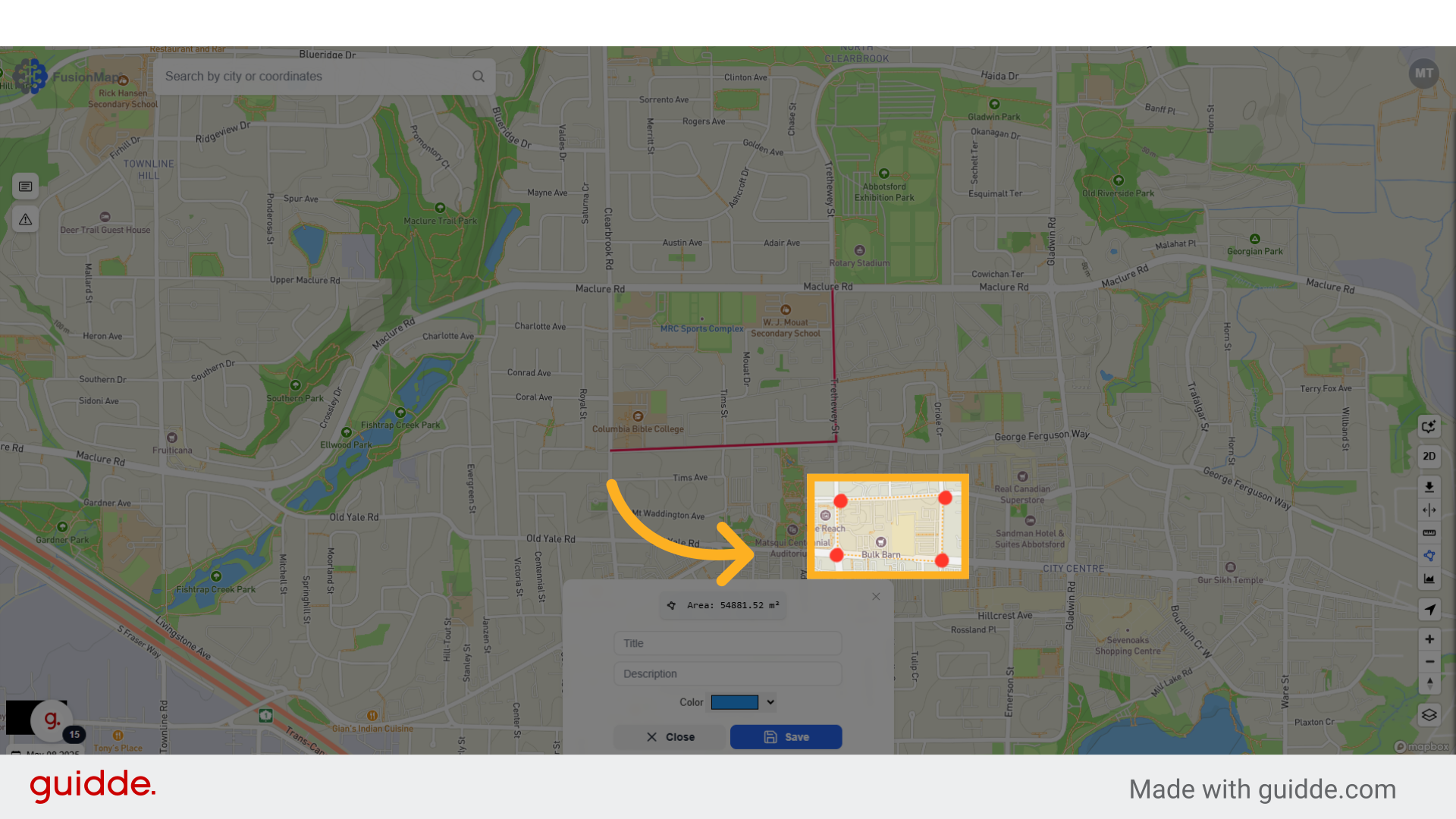
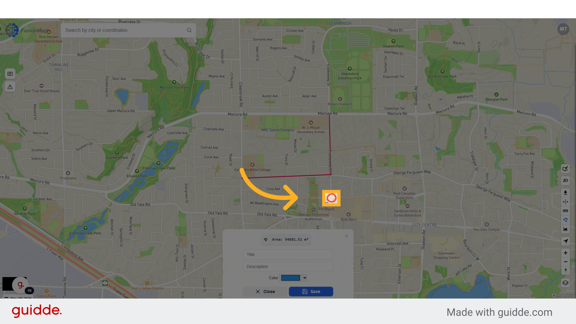
9. Wrap back to your first point #
To confirm your selection, wrap back to your first point and click on it to finalize the area.
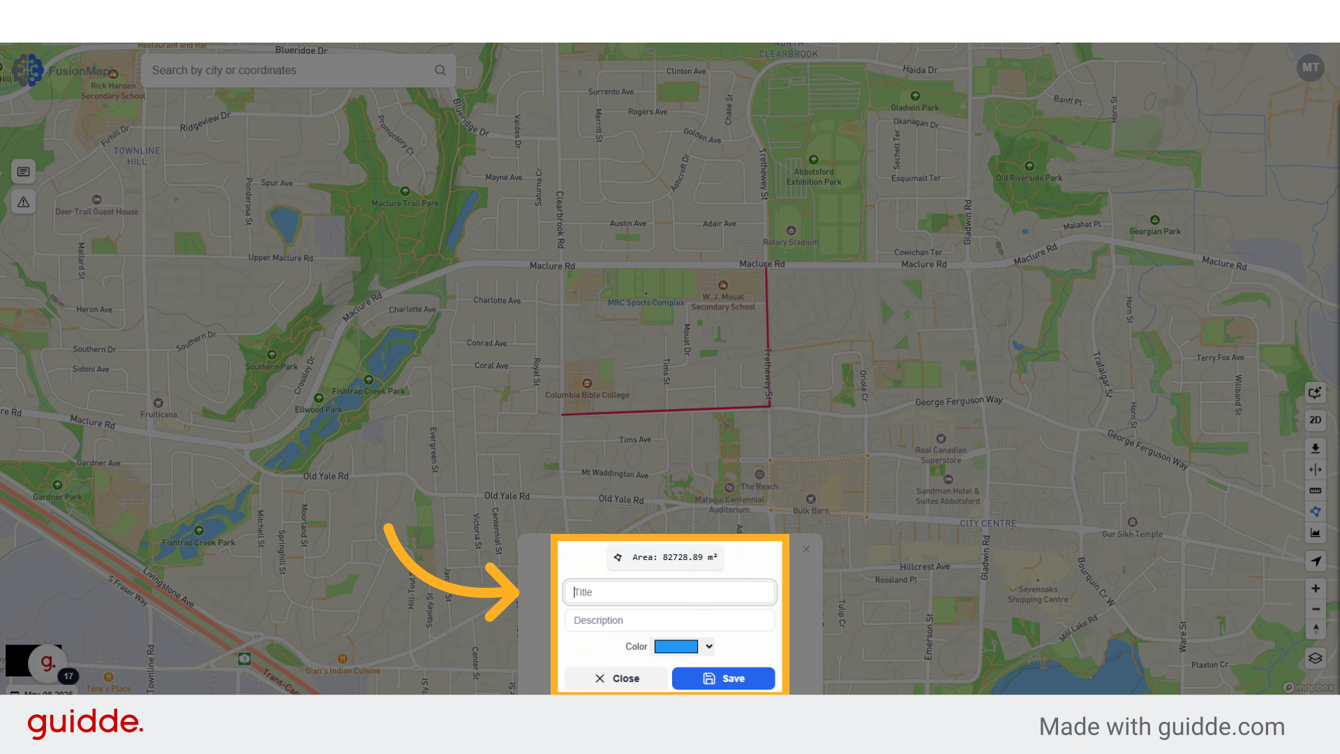
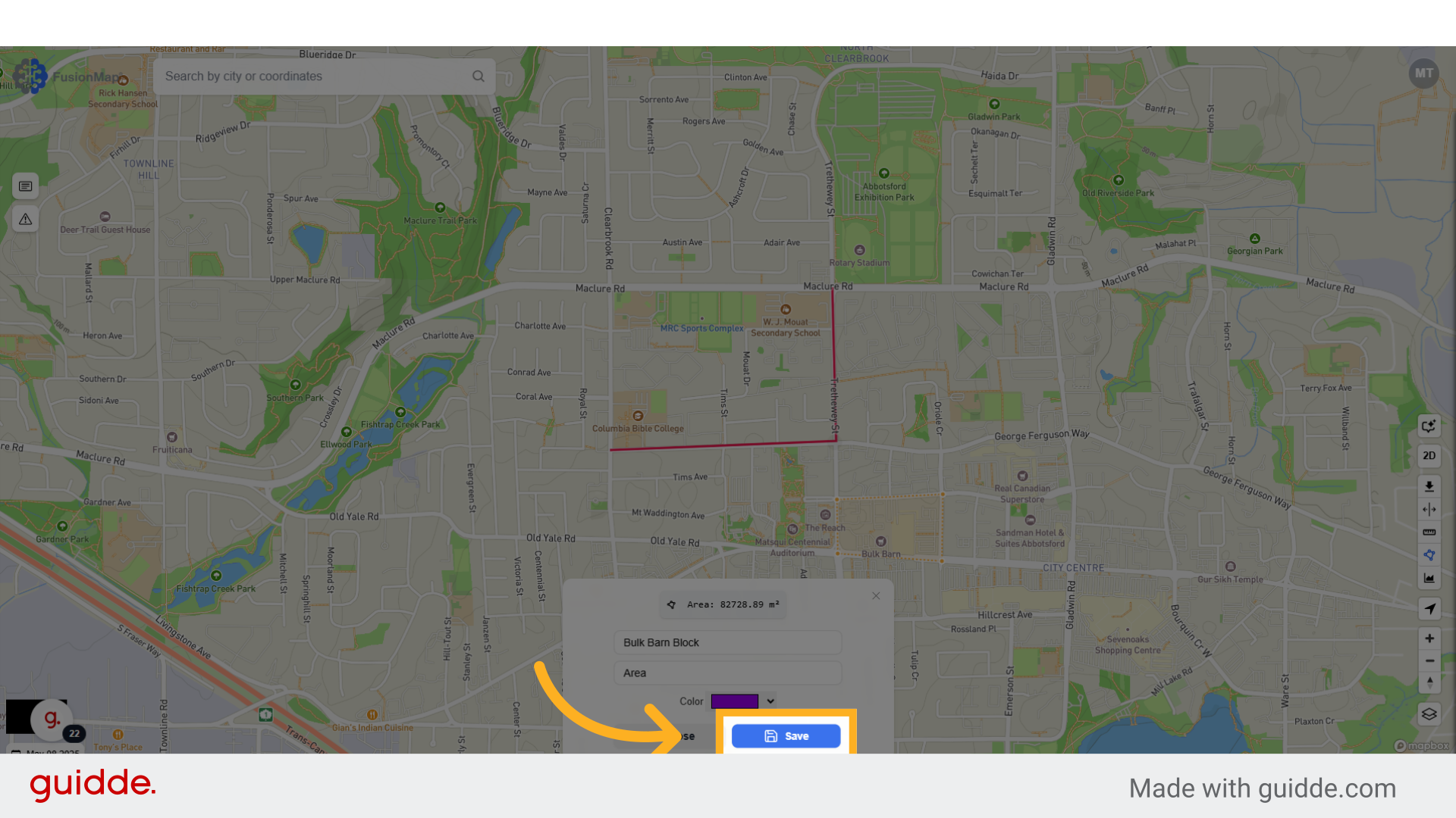
10. Choose a title, description and color #
11. Click “Save” to visualize your choices on the map #
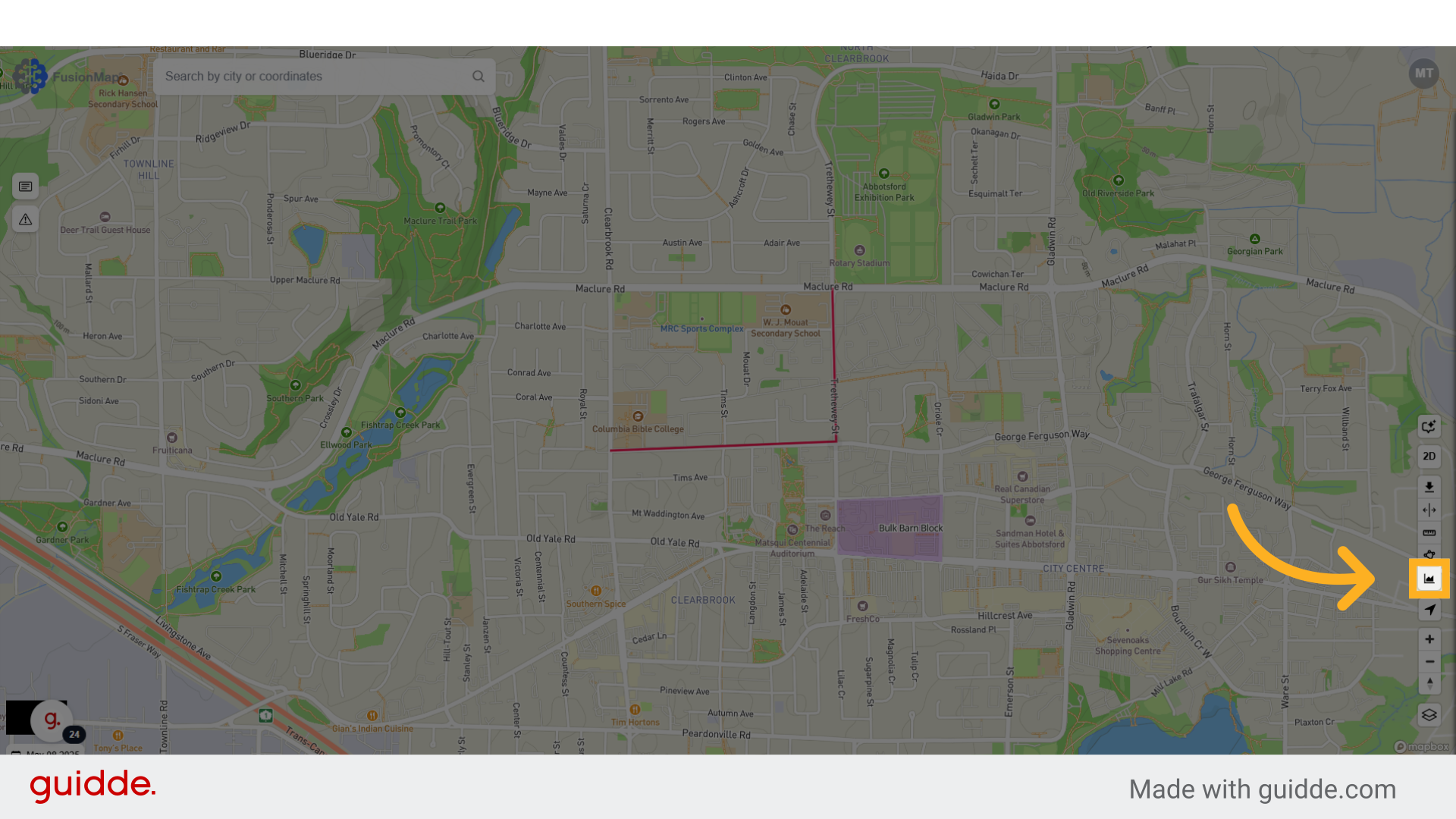
12. Click the elevation measurement button #
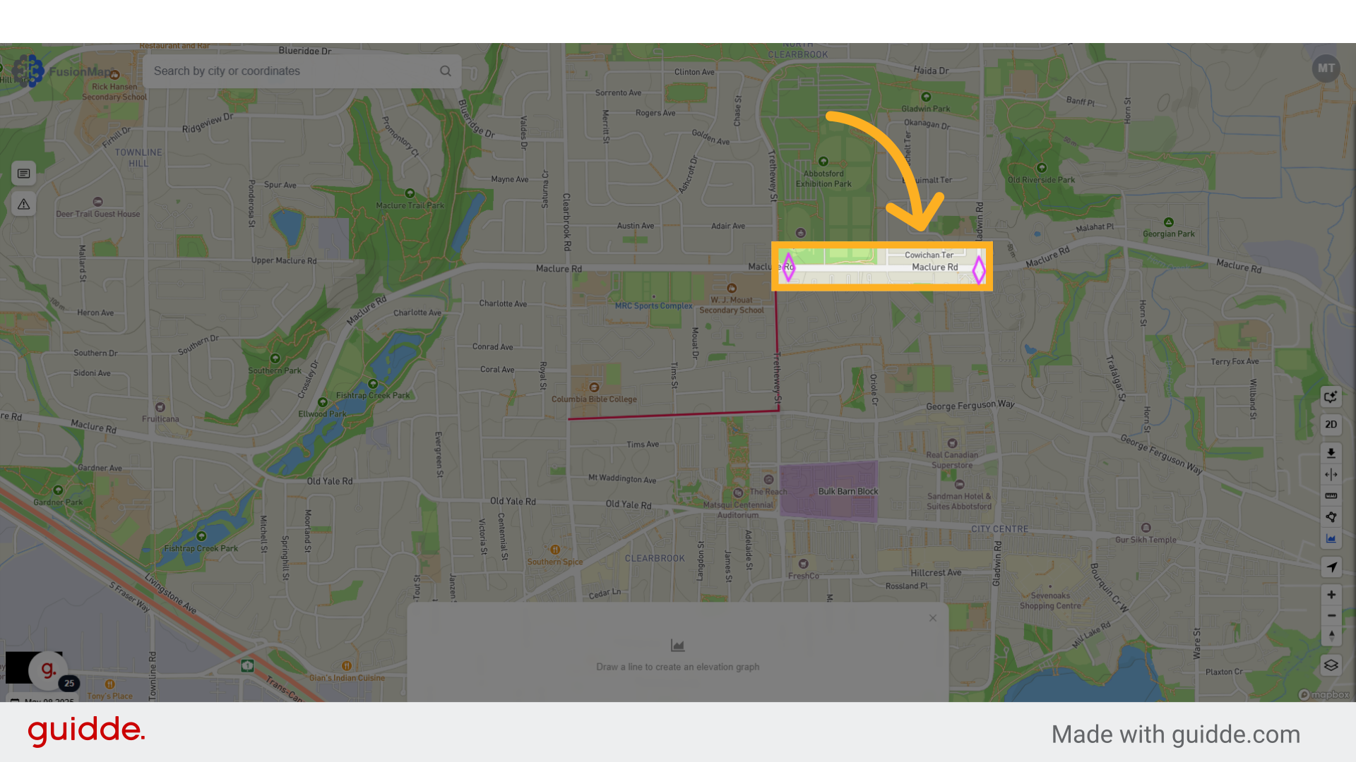
13. Select the two points you want to analyze #
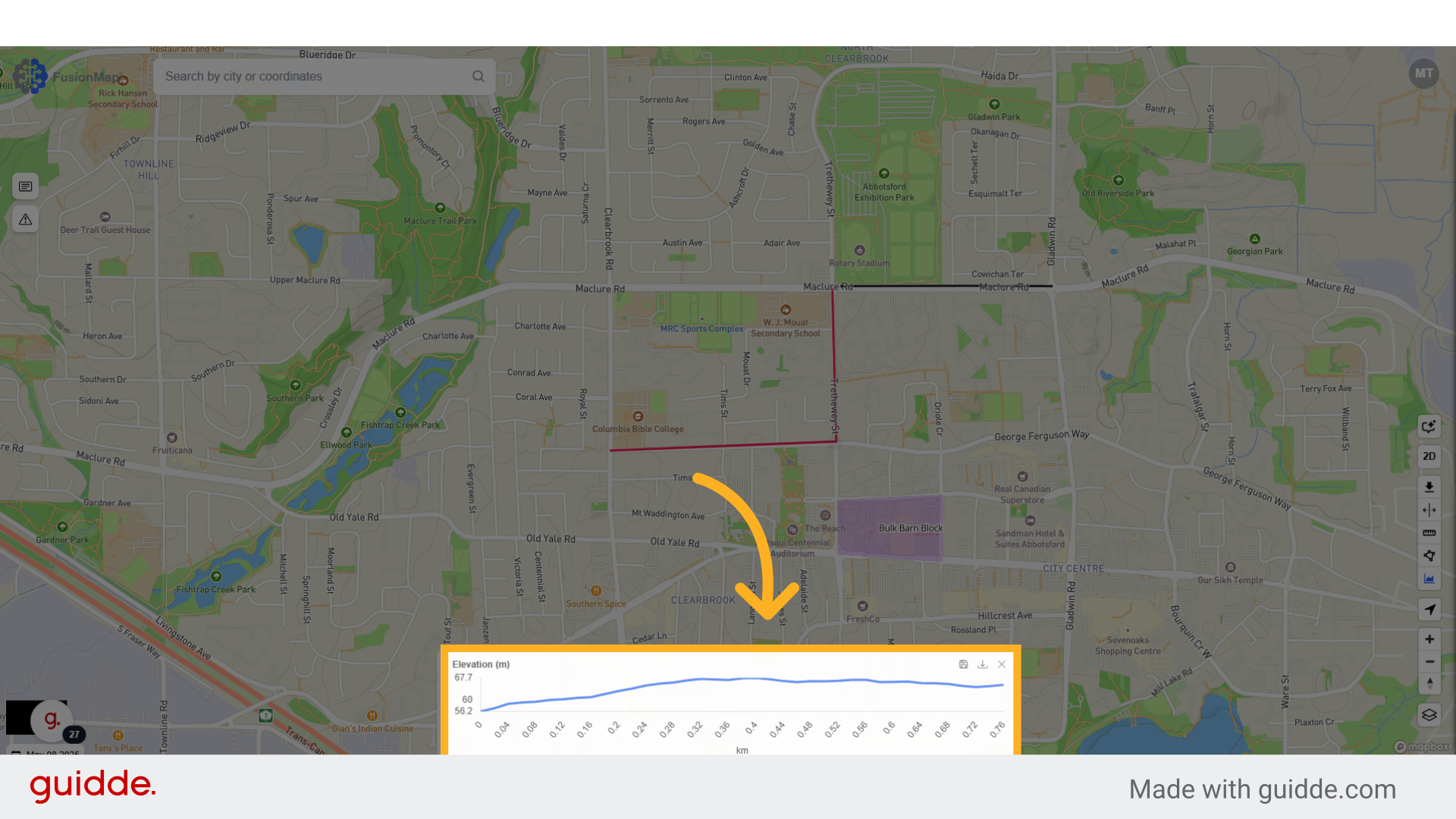
14. Your elevation vs distance graph is generated #
You may download your data as a geoJSON file if you want to export your data to a different platform.
This guide walks the user through the usage of FusionMap’s measurement tools.