What is FusionMap?
In an era where infrastructure, environmental change, and urban growth evolve faster than traditional workflows can keep up, organizations need a platform that brings
Read More

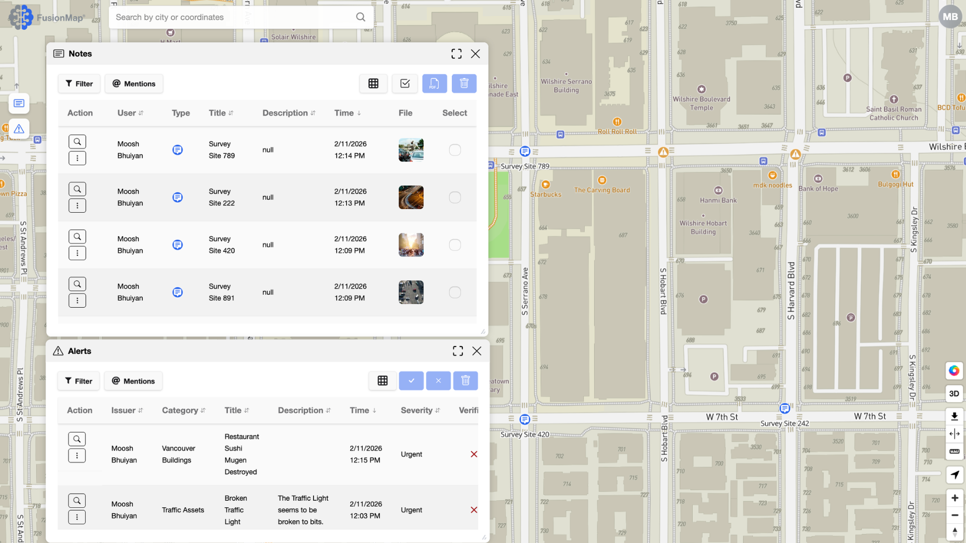
In an era where infrastructure, environmental change, and urban growth evolve faster than traditional workflows can keep up, organizations need a platform that brings
Read More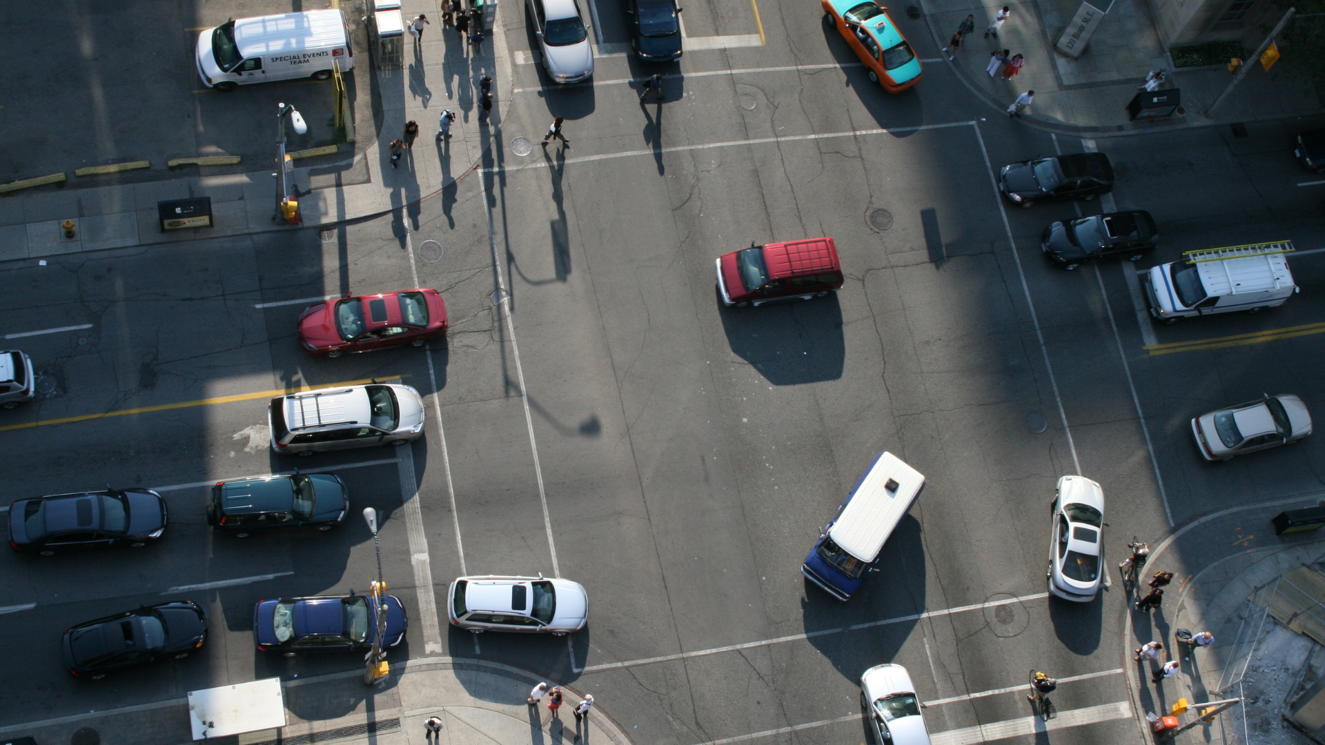
Transportation networks are some of the most critical—and complex—infrastructures to maintain. Roads, bridges, tunnels, and transit systems face constant stress from weather, traffic, and
Read More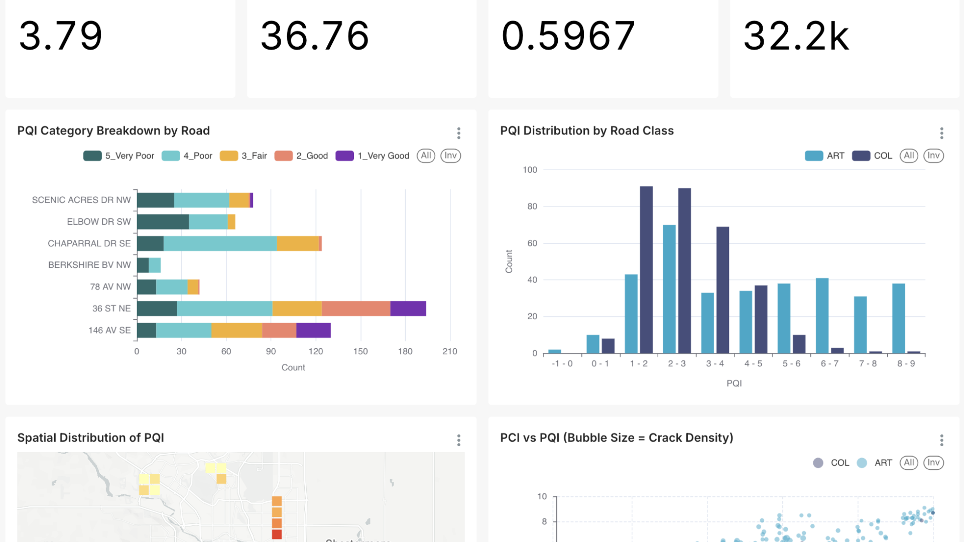
As organizations collect more imagery, LiDAR, and spatial datasets than ever before, the challenge is no longer simply acquiring data—it’s transforming that data into
Read More
Organizations today face an unprecedented volume of spatial data—from drone imagery and LiDAR to field photos, documents, and environmental layers. But collecting data is
Read More