

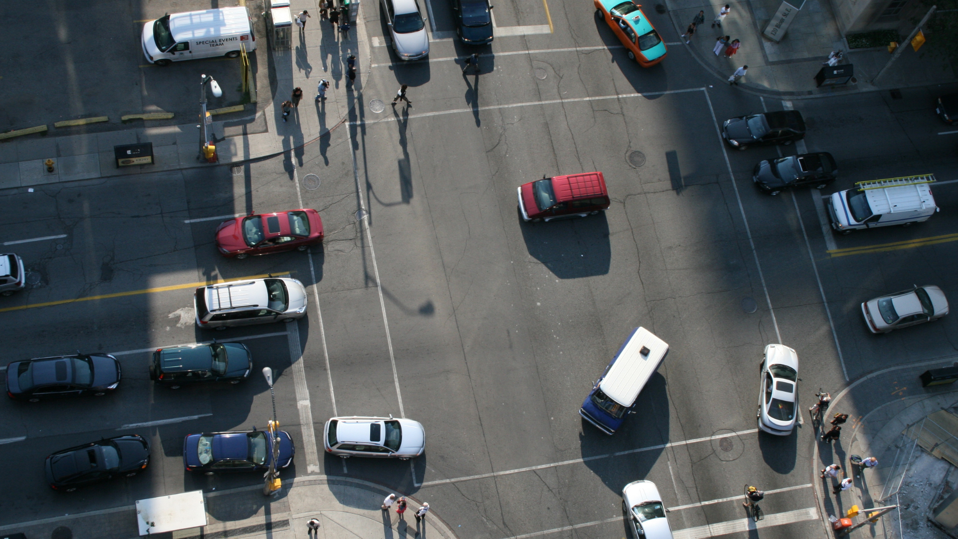
Transportation networks are some of the most critical—and complex—infrastructures to maintain. Roads, bridges, tunnels, and transit systems face constant stress from weather, traffic, and aging materials. Yet agencies and operators are increasingly expected to do more with less: fewer staff, tighter budgets, and rising expectations for safety and resilience.
FusionMap is redefining how transportation teams monitor, assess, and manage these networks. By integrating imagery, LiDAR, panoramas, analytics, and AI into a single platform, FusionMap brings clarity to asset-heavy environments and enables data-driven decisions at every stage of the transportation lifecycle.
Centralized Asset Monitoring for Roads, Rails, and Transit
Transportation agencies often rely on scattered datasets—from inspection photos to defect logs to engineering reports. FusionMap consolidates these sources into a unified, visual environment where teams can quickly understand the condition of their infrastructure.
FusionMap supports:
- AI-powered detection of roadway assets such as poles, signs, and manholes
- Visual condition tracking based on imagery and LiDAR
- Interactive dashboards for reporting and forecasting
- Real-time field-to-office data sync
This centralized approach helps agencies reduce downtime, extend asset life, and improve operational resilience.
AI That Accelerates Transportation Workflows
FusionMap integrates advanced AI models that automate inspection and inventory workflows traditionally performed manually:
Asset Analyzer
Automatically detects and maps transportation assets—including signs, poles, guardrails, markings, and more—using imagery and LiDAR. The system enriches each detection with classification, coordinates, timestamps, and reference imagery.
This reduces manual surveying time and improves inventory accuracy across large road networks.
Crack & Defect Detection
FusionMap’s AI solutions can identify and categorize pavement issues—such as linear cracks, alligator cracking, and concrete panel damage—helping teams prioritize repairs and extend pavement life cycles.
The result: faster inspections, safer workflows, and more defensible maintenance decisions.
LiDAR, Imagery, and Panoramas—All in One Place
Transportation projects often rely on multiple data formats. FusionMap offers three specialized viewers that allow teams to explore data with precision:
- Camera View – See field-captured images geotagged along roadways.
- LiDAR View – Analyze point clouds to assess elevation, geometry, and surface integrity.
- Hybrid View – Combine panoramic imagery and LiDAR to understand conditions in both 3D and real-world context.
Users can measure distances, review slopes, generate height profiles, tag defects, and export LAS subsets—all without leaving the platform.
This level of detail gives transportation teams a clearer picture of on-the-ground conditions without requiring repeated field visits.
Better Planning Through Premium Layers and Analytics
FusionMap enhances transportation planning and forecasting through:
Premium Layers
Access 29+ authoritative datasets—including NASA, ESA, and weather intelligence—to understand environmental conditions affecting transportation assets.
FusionLens Dashboards
Create charts and analytics inside FusionMap to track asset health, inspection coverage, and long-term trends.
Split View
Compare different dates or data sources to identify changes in pavement, slope, encroachments, or infrastructure damage.
Ranges (Isochrones)
Support station placement, emergency routing, coverage planning, and logistics optimization by modeling reachable distances based on speed and time.
These features help agencies move from reactive maintenance to predictive, analytics-driven planning.
A Connected Workflow for Field and Office
Transportation inspections are often split between field teams and analysts. FusionMap closes this gap through:
- The FusionMap iOS app, enabling real-time uploads of road imagery, notes, and observations
- Cloud-based synchronization so office teams receive updates instantly
- Streamlined reporting features for faster decision-making and communication
This strengthens collaboration and reduces operational delays.
Why Transportation Agencies Choose FusionMap
FusionMap delivers value where it matters most:
✔ Reduce inspection time and field costs
AI-assisted analysis cuts down manual surveying and manual post-processing.
✔ Improve safety for crews and road users
More remote assessments mean fewer hours on active roadways.
✔ Increase the accuracy of inventories and condition assessments
LiDAR, imagery, and AI provide consistent, repeatable insights.
✔ Strengthen resilience and maintenance planning
Environmental layers, historical comparisons, and predictive analytics support long-term strategy.
✔ Enhance transparency and collaboration
Centralized dashboards and real-time project views support agency, consultant, and stakeholder alignment.
Transportation and FusionMap: Built for What’s Ahead
Modern transportation demands modern tools. FusionMap equips agencies with the geospatial intelligence needed to keep infrastructure safe, reliable, and future-ready. By unifying data, automating analysis, and enabling effortless collaboration, FusionMap transforms how transportation networks are monitored and maintained—today and for years to come.





Comments are closed