From Exploration to Reclamation - Clear Visibility Across Every Phase
30+
Major Projects
125k
Miles Analyzed
$5bn
Project Values
50k
Hours Saved
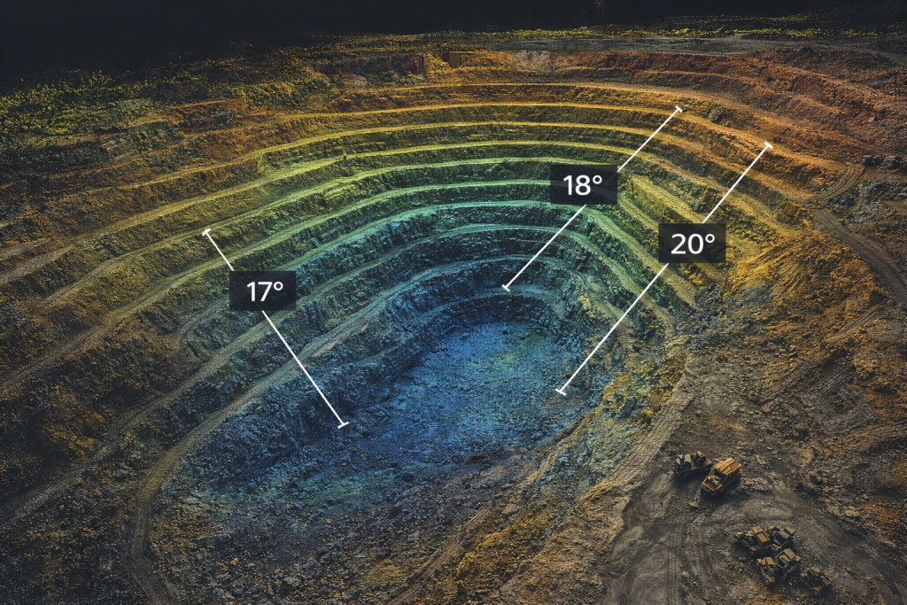
Terrain & Pit Monitoring
FusionMap enables teams to visualize and analyze pit boundaries, slope stability, haul roads, and terrain changes in detailed 3D environments.
- LiDAR and Hybrid View for detailed terrain visualization
- Height Profile tools for slope and elevation analysis
- In-viewer measurements for distances, angles, and grades
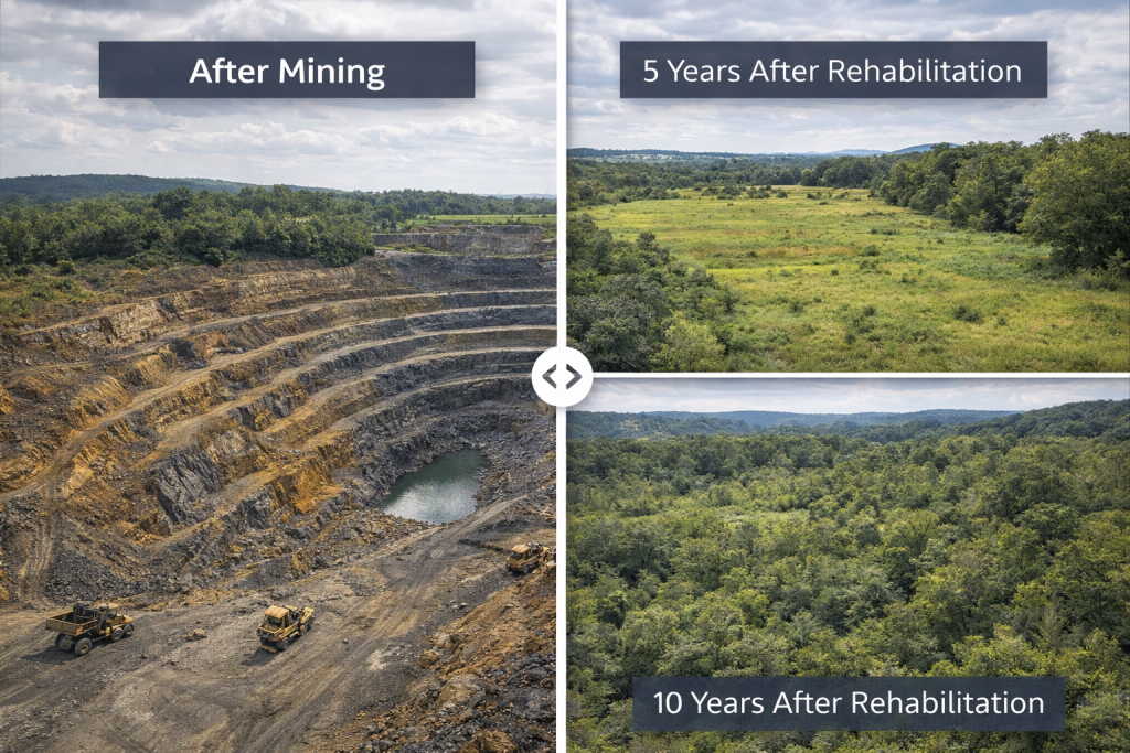
Change Detection & Site Progress Tracking
Mining sites evolve rapidly. FusionMap makes it easy to compare site conditions over time using side-by-side visual analysis.
- Monitoring excavation progress
- Tracking and documenting environmental reclamation efforts
- Documenting changes for regulatory reporting
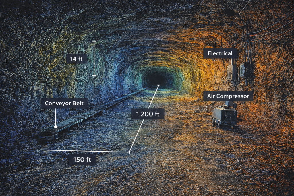
Asset & Infrastructure Oversight
From processing facilities to signage, equipment staging areas, and safety infrastructure, FusionMap supports automated asset detection and centralized documentation.
- Organized tracking of site infrastructure
- Visual condition documentation
- Reduced manual survey effort
Compliance, Reporting & Collaboration
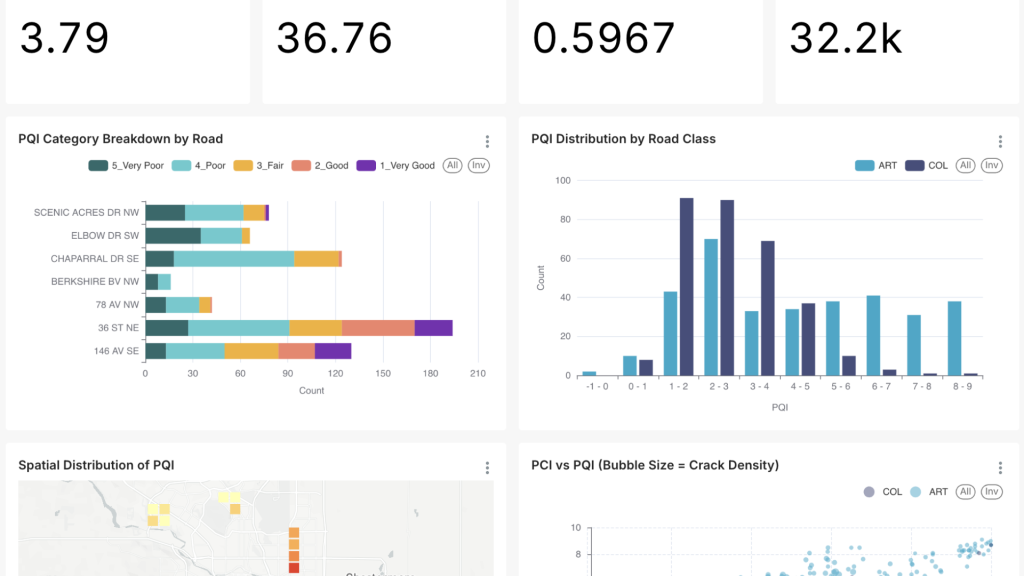
Mining projects require consistent documentation for safety and regulatory compliance. FusionMap centralizes imagery, measurements, notes, and dashboards to streamline reporting workflows.
- Clear documentation for inspections
- Real-time updates between field and office teams
- Data-driven planning aligned with environmental and safety standards
Have a question?
Whether you’re curious about FusionMap, want to schedule a demo, or discuss how it could support your workflows, we’re here to help.
Fill out the form on the right and share a bit about what you’re looking for. Our team will review your message and reach out shortly to continue the conversation.
FusionMap transforms complex data into meaningful maps that make insights easy to explore and share.



Designed with ❤️ by Moosh.