
See Every Asset. Act With Confidence
30+
Major Projects
125k
Miles Analyzed
$5bn
Project Values
50k
Hours Saved
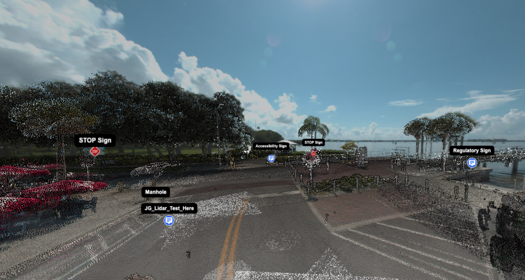
Automated Asset Inventories
FusionMap uses AI to detect, classify, and map infrastructure assets automatically—eliminating hours of manual survey work.
- Faster asset inventories across large networks
- Standardized classification and condition tagging
- Reduced field crew requirements
Visual Condition Tracking
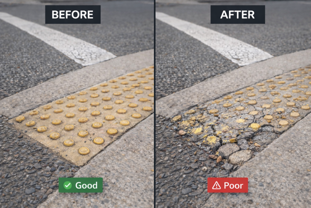
FusionMap centralizes all imagery, LiDAR, notes, and files, allowing teams to visually track asset condition changes over time.
- Camera, LiDAR, and Hybrid View for detailed inspection
- Timestamped asset inventory for comparing past vs present conditions
- Measurements for cracks, wear, or deformation
Seamless Field–Office Updates
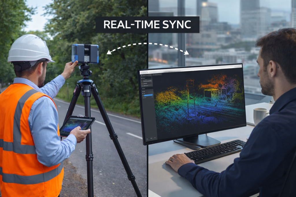
Teams can update asset conditions, capture defect images, or log inspections directly from the field—syncing instantly to shared maps.
- Real-time visibility into field findings
- Consistent documentation across teams
- Faster, more reliable inspection cycles
Have a question?
Whether you’re curious about FusionMap, want to schedule a demo, or discuss how it could support your workflows, we’re here to help.
Fill out the form on the right and share a bit about what you’re looking for. Our team will review your message and reach out shortly to continue the conversation.

FusionMap transforms complex data into meaningful maps that make insights easy to explore and share.





Designed with ❤️ by Moosh.