
When Disaster Strikes, Every Minute Matters
30+
Major Projects
125k
Miles Analyzed
$5bn
Project Values
50k
Hours Saved

Real-Time Field Coordination
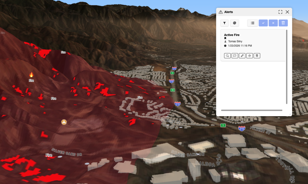
Responders on the ground can capture imagery, notes, and updates through FusionMap’s mobile app, syncing immediately with command centers.
- Up-to-date conditions for decision-makers
- Streamlined communication across teams
- Traceable field intelligence during fast-changing events
Rapid Damage Assessment
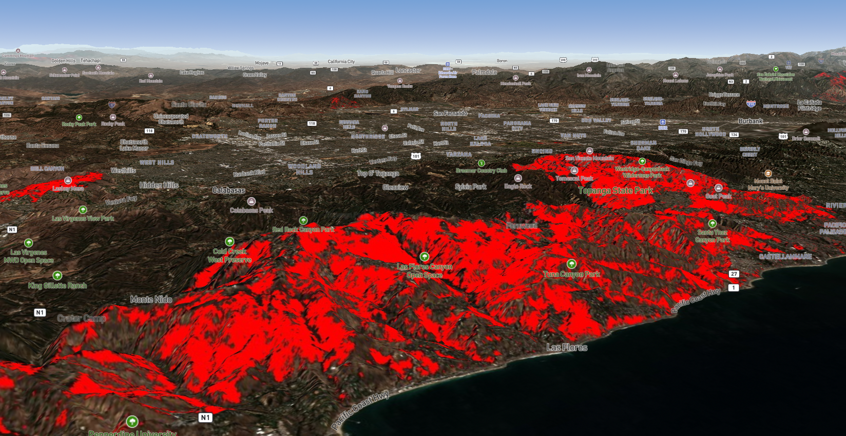
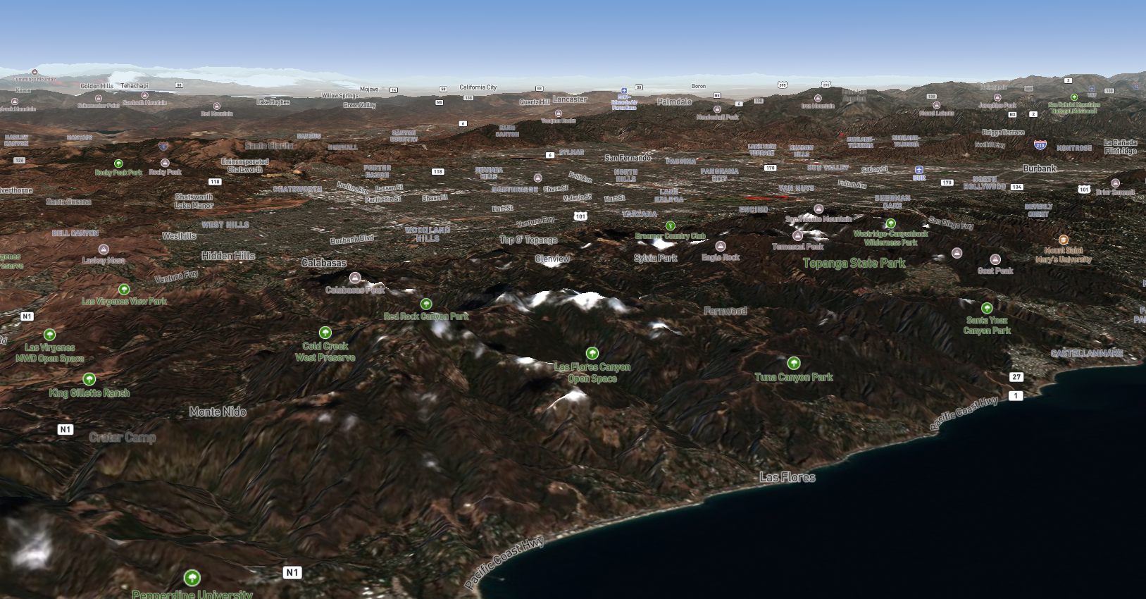
FusionMap enables responders to compare pre- and post-event data instantly using FusionMap’s Split View, helping teams understand the scale and severity of damage within minutes.
- Faster situational awareness
- Prioritization of critical response zones
- Visual documentation for emergency reports
Geohazard Detection & Monitoring
FusionMap supports long-term monitoring of terrain and environmental risks such as flood susceptibility.
- Early identification of geohazards
- Proactive planning and risk mitigation
- Monitoring landform changes over time
Integrated Hazard Layers
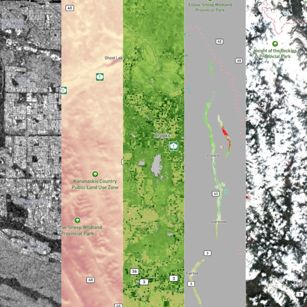
Agencies can enhance their maps with FusionMap’s built-in Premium Layers which include useful layers such as wilfires, burned areas, flood maps etc.
- Rich context for educated decisions
- Predictive insight into storm, fire, or flood behavior
- A single view bringing it all together
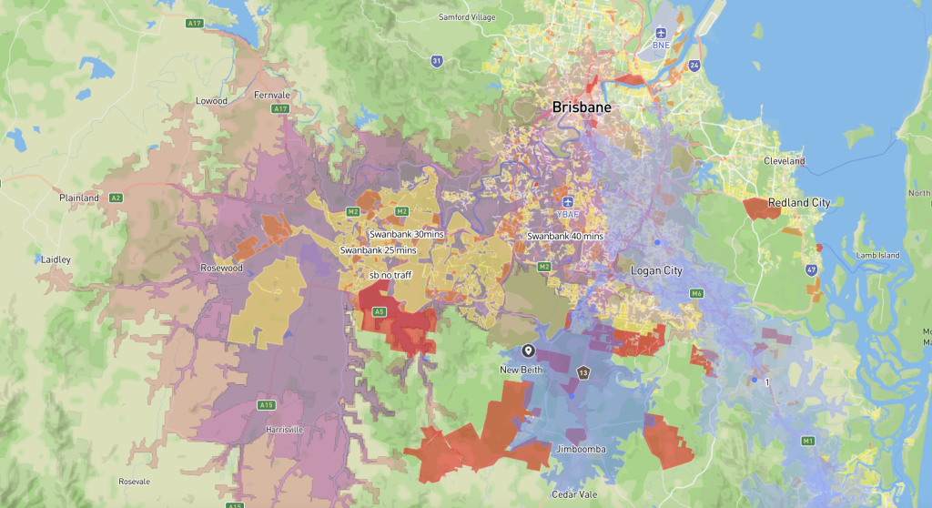
Coverage Modeling & Response Planning
FusionMap’s isochrone tools help teams model travel times, identify isolated communities, and optimize the placement of emergency resources.
- Faster routing for emergency vehicles
- Identification of underserved or at-risk zones
- Planning for evacuation or supply distribution
Have a question?
Whether you’re curious about FusionMap, want to schedule a demo, or discuss how it could support your workflows, we’re here to help.
Fill out the form on the right and share a bit about what you’re looking for. Our team will review your message and reach out shortly to continue the conversation.

FusionMap transforms complex data into meaningful maps that make insights easy to explore and share.





Designed with ❤️ by Moosh.