Geohazards
- Home
- Tab Builder
- Geohazards
Geohazards
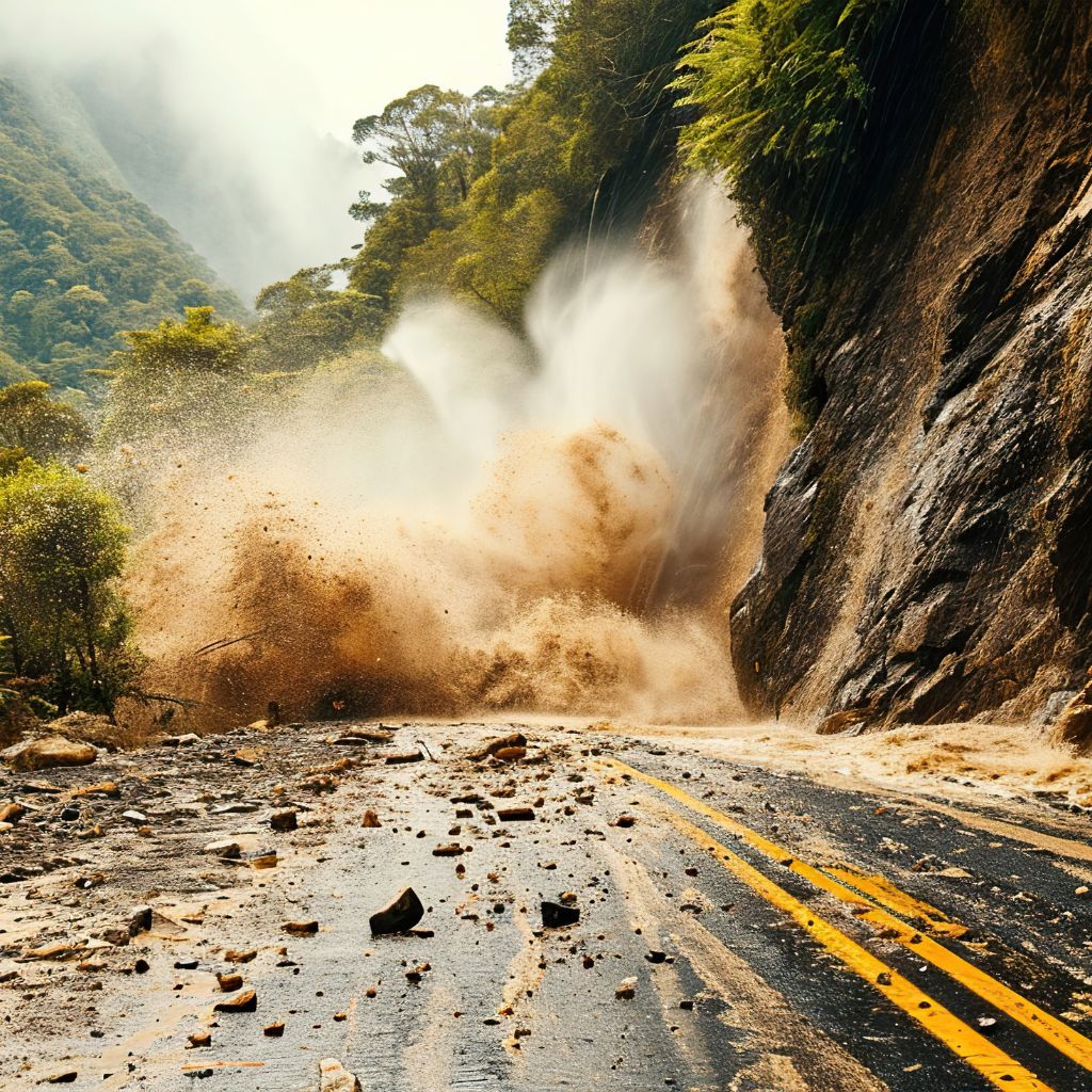
FusionMap helps teams detect and monitor flood zones, landslides, and terrain shifts using AI, LiDAR, and imagery—enabling early warning, risk mitigation, and safer project planning.
- Detect change – Track terrain, slope, and subsidence
- Visual overlays – Map flood and landslide risk zones
- Plan proactively – Support mitigation before disaster strikes
FusionMap transforms complex data into meaningful maps that make insights easy to explore and share.



Copyright © Tetra Tech Fusion, LLC. A Tetra Tech company.
Designed with ❤️ by Moosh.
Designed with ❤️ by Moosh.